Tuesday, April 17th
We left Assateague in the morning after seeing three horses steal our neighbors food. They were tenting and the horses can be quite brazen. Luckily everybody saw the humor in the situation!
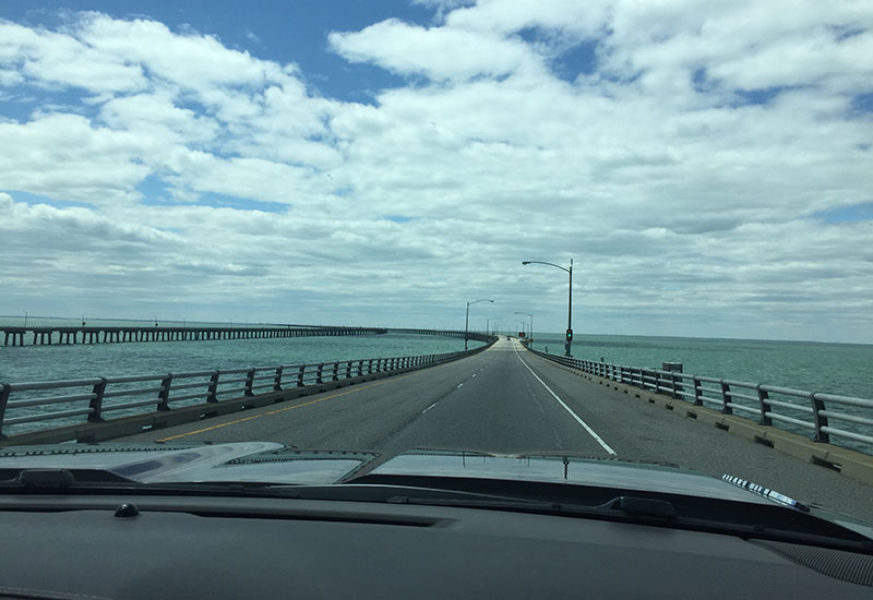
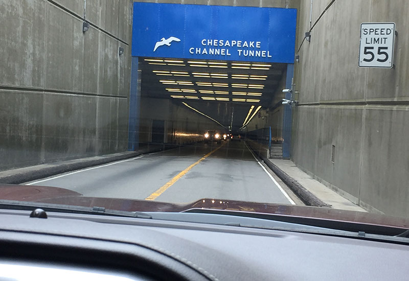
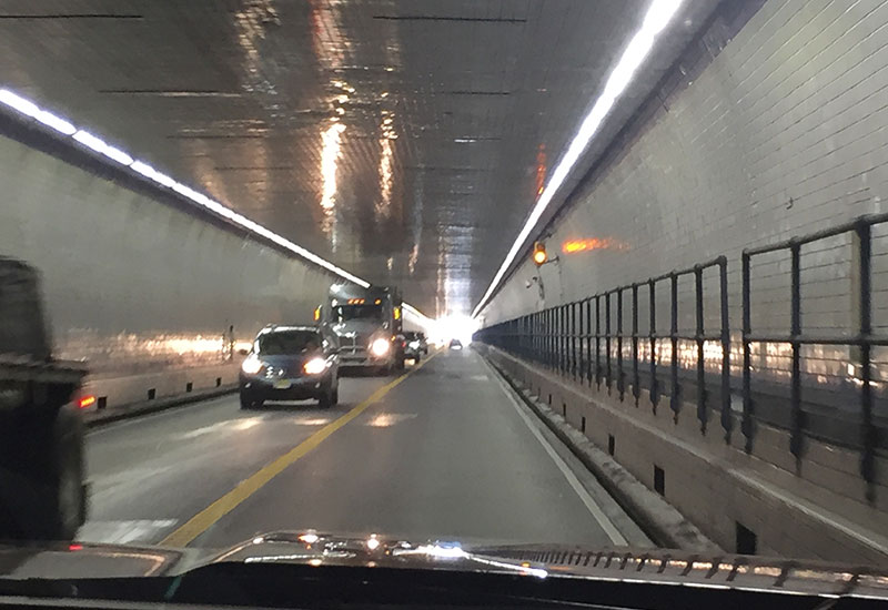
We had a great easy drive down to the Chesapeake Bay Bridge Tunnel. A marvel of technology. It is over 23 miles long and crosses the mouth of the Chesapeake Bay. It’s unique in that it has a combination of tunnels and bridges. The tunnel maximum height is 13’6” which is something we have to think about since we are logged at 13’4”. But, since we’ve made it through 13’6” every other time, there was no reason to think this would be different. And, it wasn’t. We were fine. As an RV’er, you have to turn off your propane before crossing the bridge/tunnel. (The toll operator apologetically said “I have to ask you about your propane.” We told her it was turned off.) Typically the propane is on to keep everything in the fridge/freezer cold. When we stopped at a rest stop just before crossing the bridge for lunch, we turned off the propane. Then almost forgot to bring in the slide after lunch. That would have been embarrassing… or worse! I’ve got checklists for when we’re leaving a campground, and when we’re arriving at a campground. Apparently I have to also do one for when we finish lunch!
The bridge was beyond cool. Once we got to the other side, traffic was much heavier going through the Virginia Beach area (and not the pretty part of Virginia Beach). Then traffic settled down once we were headed towards the Outer Banks (aka OBX, took us a little while to figure out OBX was Outer Banks). After about 30 minutes of driving, we were able to finally stop along the side of the road and turn the propane back on. If the bridge authority wants compliance on their propane rules. they ought to make it easier for you to turn it back on at the other side of the bridge. Gary said “it’s not their problem.” Well, it should be… just sayin’.
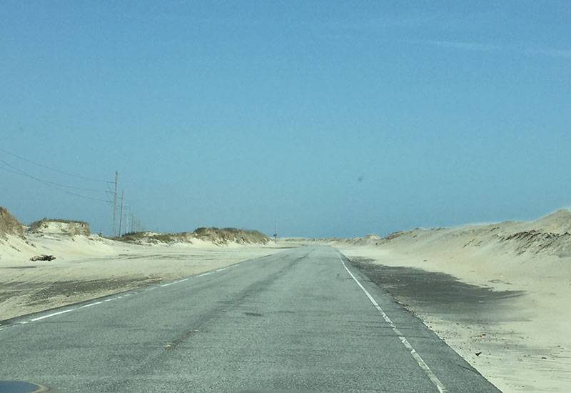
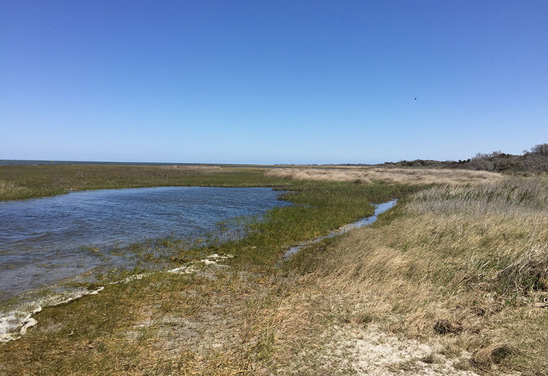
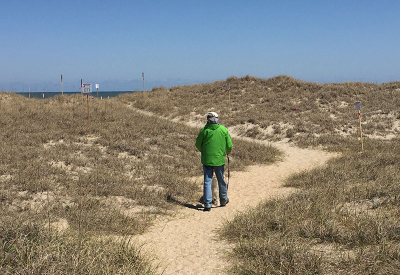
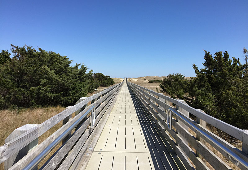
Before actually entering the Cape Hatteras National Seashore (CHNS), it’s strip mall after strip mall. Then you make the turn on to the Cape Hatteras Scenic Byway (Highway 12) and wow, another world. The “highway” is one lane each direction crossing several bridges with dunes hemming in the view on each side. Very remote. The CHNS runs 70 miles long with towns and shopping interspersed. The National Seashore is not a continuous 70 miles but rather broken up over three islands, Bodie, Hatteras and Ocracoke Islands. Sand encroaches the road on either side. You can stop on the side of the road or in one of the many small parking lots, and walk over a dune to see the ocean. Or cross the highway to the Pamlico Sound side with wild life refuges, birding and lots of kite boarding.
We pulled into the Cape Hatteras KOA. Big place! Fairly empty this time of year. We were escorted to our site. They shoe horn you in. Gary looked around and thought if it fills up over the weekend, we’ll never get out of here.
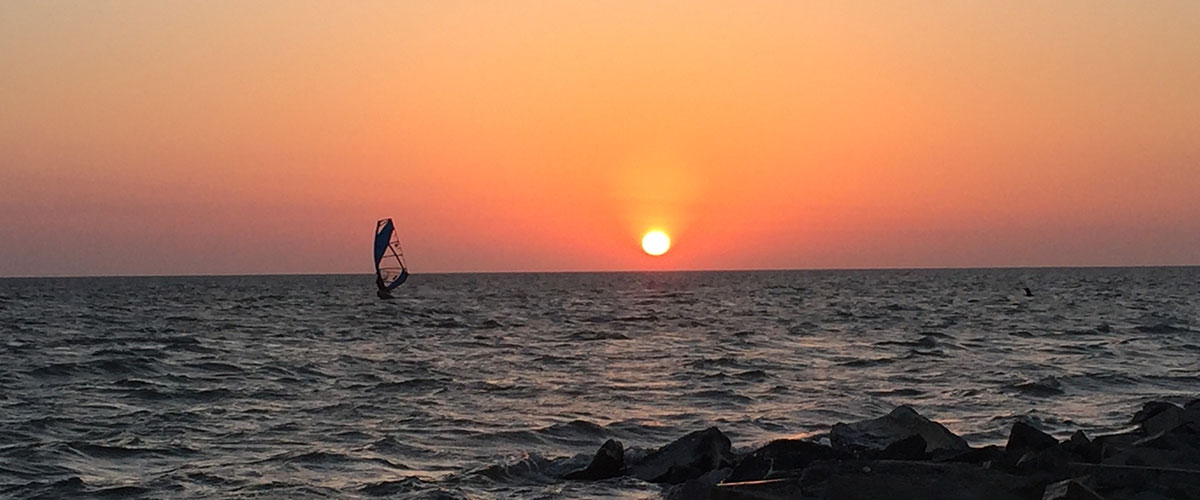
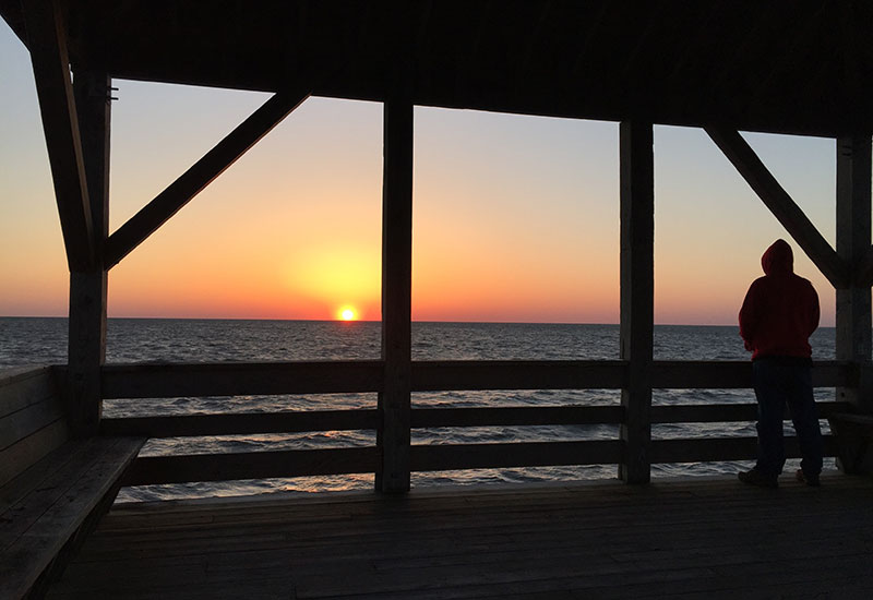
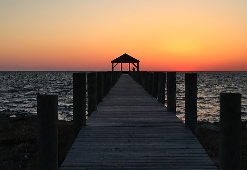
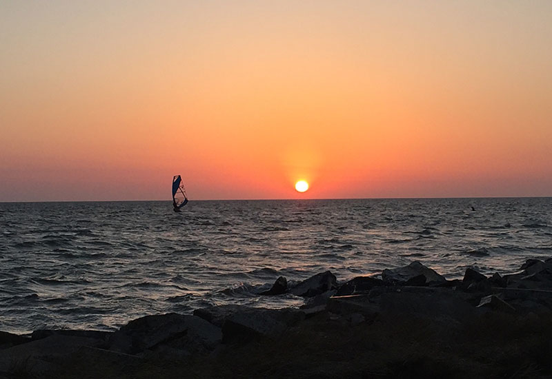
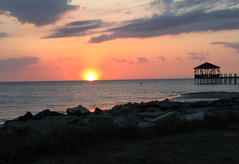
The campground borders the Atlantic Ocean on one side and across the highway is the Sound. So you can see sunrise at the beach (if you were up early enough, which we will not be) and sunset at the sound. We did take advantage of that… several times. Lovely view and draws a nice crowd, and as an added bonus you can see kite boarders doing their thing. One night I counted 30 of them out in the water in the distance! (Watching sunset always reminds us of the Billy Crystal/Gregory Hines movie “Running Scared” where they are Chicago cops buying a bar in Key West and see a crowd standing around. Billy Crystal asks “Was somebody shot”? No, it’s just sunset.)
Wednesday, April 18th
Wednesday morning we headed up to the office to get a Premium site which we would actually fit in.
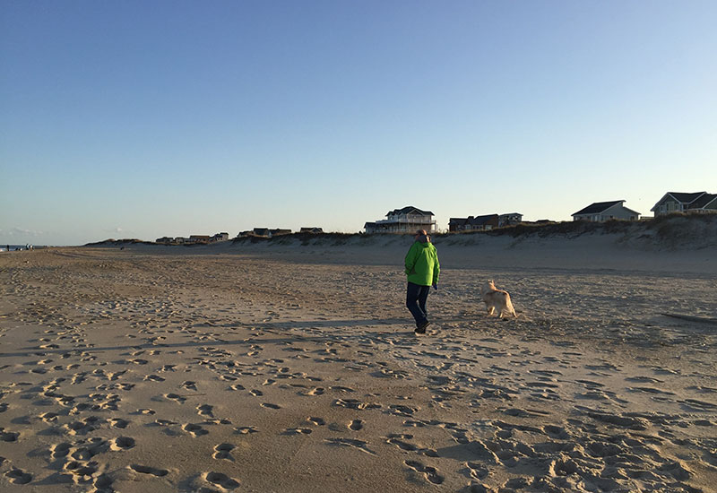
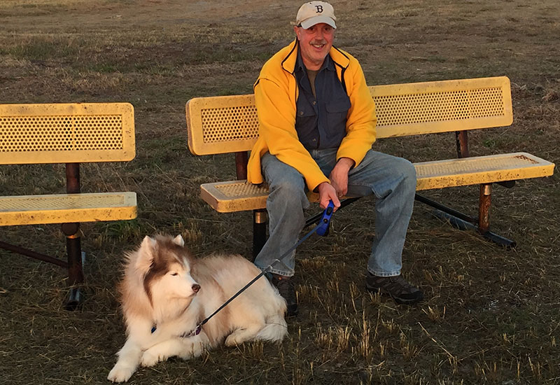
Thank you Jesus that I married a handy man. We had trouble with another landing gear on this trip (different landing gear than our previous trip). Gary figured out what the problem was fairly easily. Then the problem was trying to order the part through Amazon. They wouldn’t accept the address for the campground as being a legitimate USPS address. We tried every configuration possible, headed up to the office and they were about as dumbfounded as we were. There was an RV repair guy at the campground working on someone else’s camper; we ended up ordering it through him just to be able to get it. Nuts. After all that happy hoorah we took a long walk on the beach with Kya, sat outside and enjoyed comfortable temps, read and planned our activities for the next few days. And walked across to the Sound to watch sunset at the end of the day. Blustery so not too many souls out that evening taking advantage of it.
Thursday, April 19th
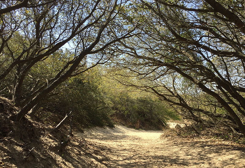
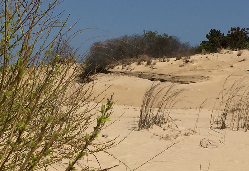
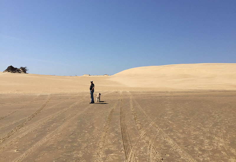
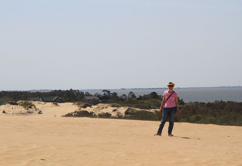
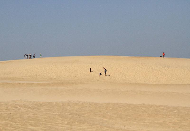
We took a ride over to Jockey’s Ridge State Park in Nag’s Head. It’s the site of the tallest natural sand dune system in the eastern U.S. It’s rather remarkable. It’s constantly shifting based on the winds and varies between 80 to 100 feet high and is a popular spot for hiking, kite flying and hang gliding. It was other worldly hiking over these vast expanses of windswept dunes with no vegetation!
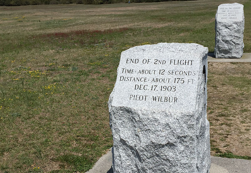
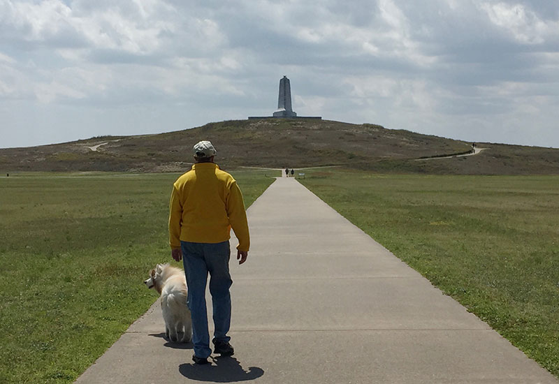
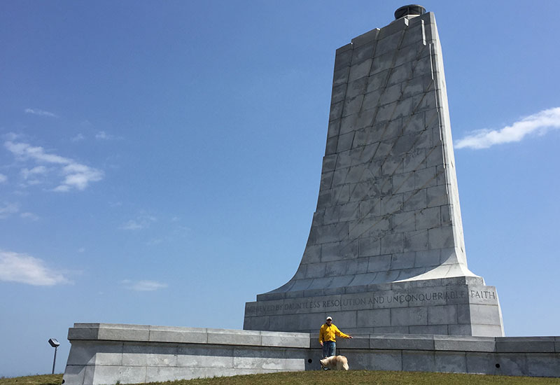
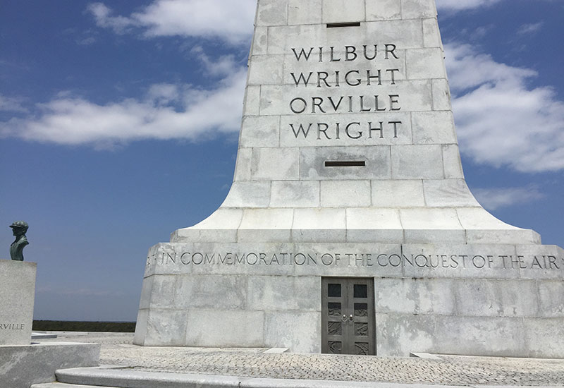
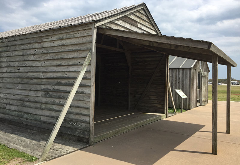
Next we visited the Wright Brothers Memorial in Kill Devil Hills. While Wilbur and Orville were from Dayton, they actually got airborne for the first time here at the Outer Banks in 1903. Good windy conditions and a remote site were the draw. On one cold December day with neighbors watching, they got airborne four times… taking turns flying. The first time 120 feet (took 12 seconds), next 175 feet (another 12 seconds), then 200 feet (over 15 seconds) and lastly 852 feet that lasted almost a minute. They must have been so exhilarated. With that last flight, there was significant damage to the aircraft so that called a halt to the flying for that year. There are granite markers up at all four locations showing the distance of the flights. Then there’s a large 60 ft. memorial at the top of Kill Devil Hill which marks the site of hundreds of glider flights that preceded their first powered flight. They made over 1,000 glides from the top of the hill. At the time the hill was sand and it was an arduous task to climb up. Now grass stabilizes the 90 ft sand dune. There’s also two small buildings that were their hangar, workshop and living quarters. Over time the brothers improved their skills and were able to make routine flights of over 30 minutes. But the military was dubious and was unwilling to offer them a contract, and they refused to show their control system without a contract in hand. A stalemate persisted for three years. Finally the Wrights got their contract and showed the world that their technology was superior. The French were the closest in technology and one French pilot said “We are as children compared with the Wrights.” Remarkable ingenuity and steadfastness to see it through, and not call it a day when faced with so many obstacles.
We watched another lovely sunset in the evening. Temps were more comfortable so it drew a bigger crowd. Then we continued on our movie watching binge and saw the first half of The Titanic.
 Friday, April 20th
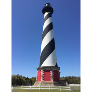
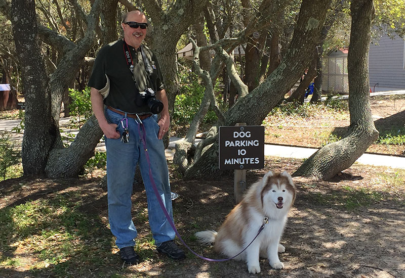
We headed south down Highway 12 (scenic byway) and passed by some small towns, some gorgeous homes, and remote beach areas on our way to the Cape Hatteras Lighthouse. It is the tallest lighthouse in the U.S. at 198.5 feet and was built in 1870. You can climb to the top (all 245 steps, equivalent to a 12-story building) and look out at the views. We opted not to climb up. Not sure that would’ve been the best thing for knees not accustomed to that. But the grounds are lovely. Kya had a huge fan base, and there’s a museum with some interesting information about all the U-boats off the coast during WW II and how over several months the Germans were able to take out one ship a day, calling it the “American Turkey Shoot.” Finally in the spring of 1942 with German codes being broken and advanced anti-submarine technology, the Americans were able to put a stop to it.
After the lighthouse we continued down to the end of Hatteras Island. After that you can take a ferry across to Oracoke Island, we opted not to do that this time. Instead we meandered back north on Highway 12 stopping along the way to see the different beach access points.
Passed on watching sunset but did take a walk on the beach in the early evening and later watched the second half of Titanic.
Saturday, April 21st
We had a quiet day of doing laundry, a walk on the beach, and I sat outside and read in the sun while Gary did a few little repairs. It’s like owning a second home… there tends to be a need for repairs on a regular basis. Tomorrow we’ll head west towards Asheville.
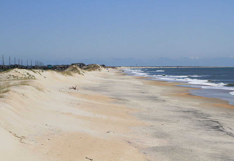
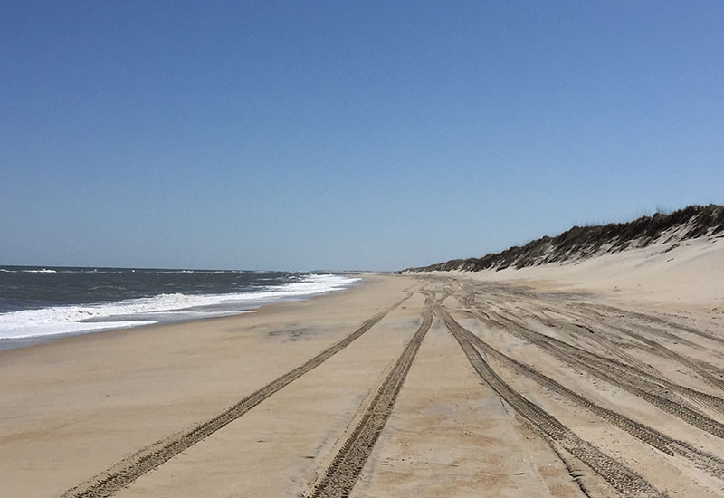
Thanks T & G, I love keeping up with your activities. Seems like such a vast expanse of beach around those parts. Hang gliding might have bee nice too Andrea
So much fun reading this. I’m realizing more and more that maybe Steve and I are not cut out for the RV life, particularly because we are not handy and no amount of YouTube videos could make us handy. Btw, we honeymooned in Hatteras nearly 41 years ago! Safe travels, you guys!
Hi Margaret! So great to hear from you! I bet Hatteras hasn’t changed too much from your honeymoon 41 years ago! We couldn’t believe how remote parts of it are! Hugs, Teresa & Gary
Hi Andrea, yes they did hang gliding at the state park. They actually gave lessons. I don’t do heights so not for me! Love, Teresa
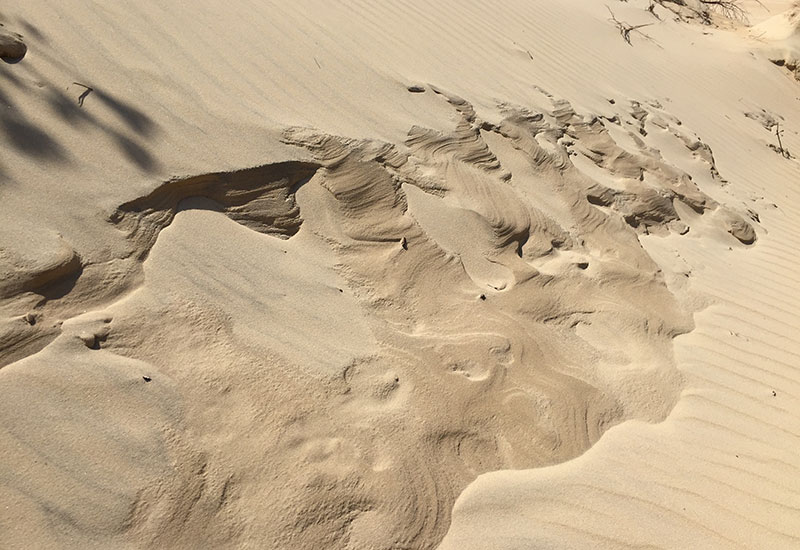
So pretty, love the sunsets and the sand patterns! And I was so proud of myself for driving a rental car over the Chesapeake Bay Bridge last summer. I can’t imagine driving an RV through a 23 mile long system of tunnels and bridges – yikes! Thanks for sharing your adventures with us. xo Beth
You go girl! No mean feat driving over 23 miles of tunnels and bridges! Thanks about the sand pattern. That was at the state park. I thought it was cool. And, sunsets are always a favorite! Thanks for reading… and/or looking at the pics! Love, Teresa
We are very familiar with what you mean about the not so nice part of VA Beach, but the actual beach is one of our family’s favs! Interestingly enough, one year we too went to the Cape H lighthouse and LA, Drew, and Ali climbed all the way to the top! Amanda was too young and didn’t meet the height requirements so I had to stay behind w her in the gift shop while they went up. I recall them saying how narrow & steep the stairs were!
Safe travels
Love Mike
Hi Mike, yes I’m sure the real VA Beach is awesome. We just didn’t get there on this trip. That’s so funny that you guys saw the Cape H lighthouse as well and climbed it… or at least some of you did! We thought about climbing it, but then thought we might pay a price for that. Hope LA is feeling better. Love you, Aunt T
What a great travelogue! Thank you for sharing – it is a pleasure to read and your pictures are gorgeous… (I’m going to send you an e-mail with some thoughts on Kya’s chronic bronchitis.)
You are very kind, Karen. More kind that I deserve. Glad you’re enjoying the blog and the pics! Thank you for your email about Kya’s bronchitis. I will respond back to you separately on that. You are a treasure! Hugs, Teresa
Teresa, Gary
Thanks for the pictures and Blog; safe travels.
Love
Bob
You’re welcome, brother Bob 🙂 xoxo T&G
Great photos! We are enjoying the little bit of history that you include as well.
Safe travels!
Thanks, Deb & John! You’re sweet to say that!
Hi Troys, Love this blog. We were at OBX many years ago and saw the dunes and that long, long, sandy road to get there and all I remember was She Crab Soup at a local eatery, soooooooooo good. Keep truckin’
Love
Cuz Marie
Thanks, Marie! I’m glad our pics brought back happy memories of your trip!