Tuesday, Nov. 17th, 2020
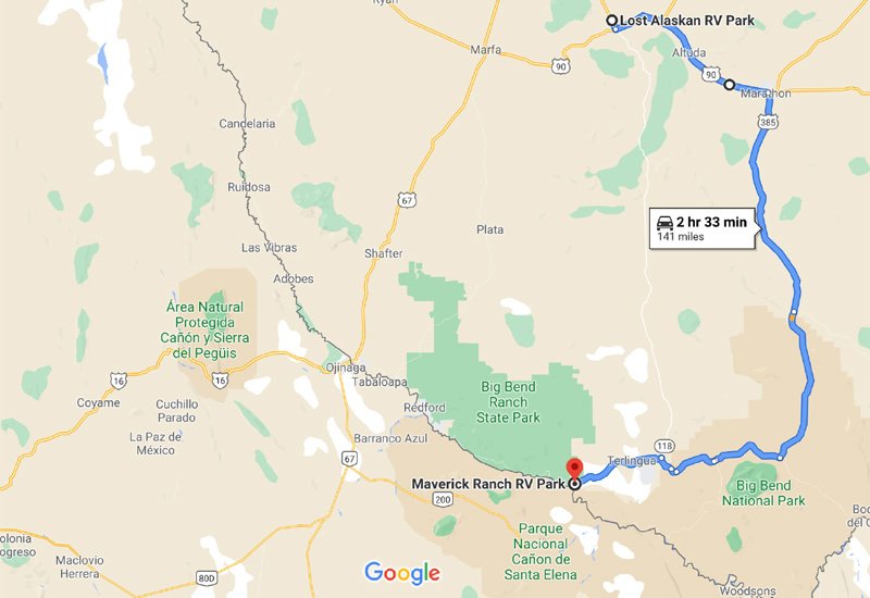
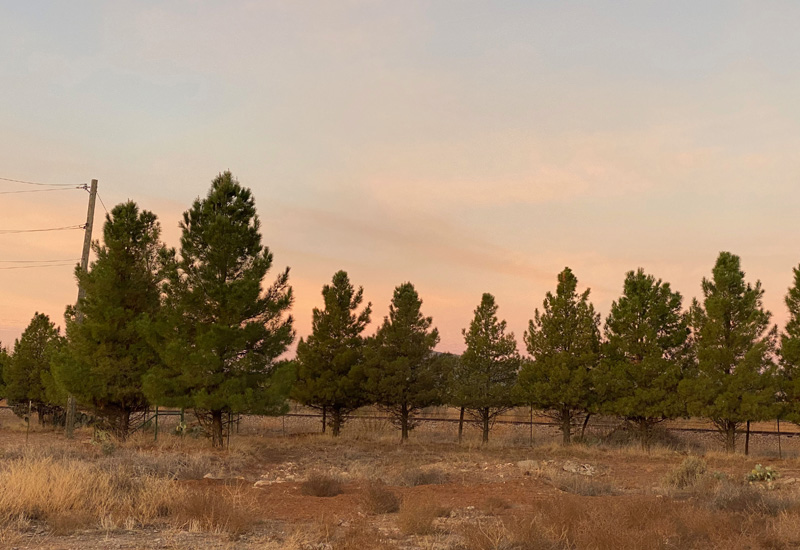
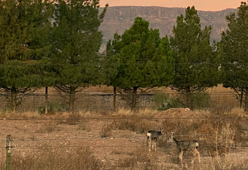
I woke up early (rare for me as I’ve told you ad nauseam) and went out to catch a bit of the sunrise on the surrounding mountains and counted 11 deer grazing nearby. What a treat! After breakfast we packed up to hit the road for our 141 mile drive to Maverick Ranch RV Park in Lajitas, TX which is located about 10 minutes from Big Bend Ranch State Park and an hour or so from Big Bend National Park.
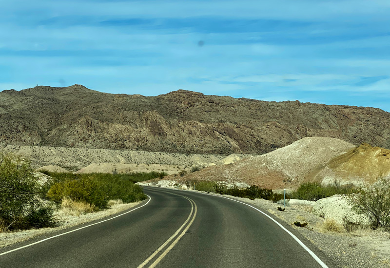
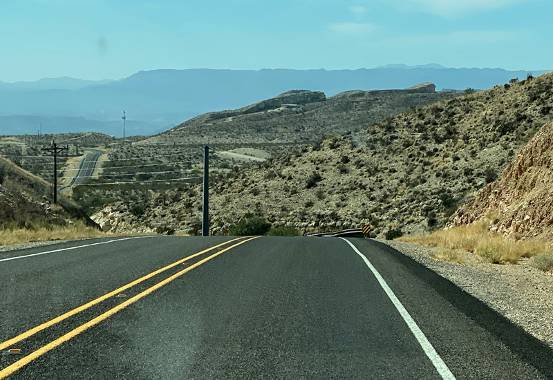
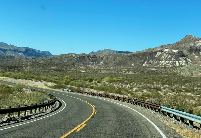
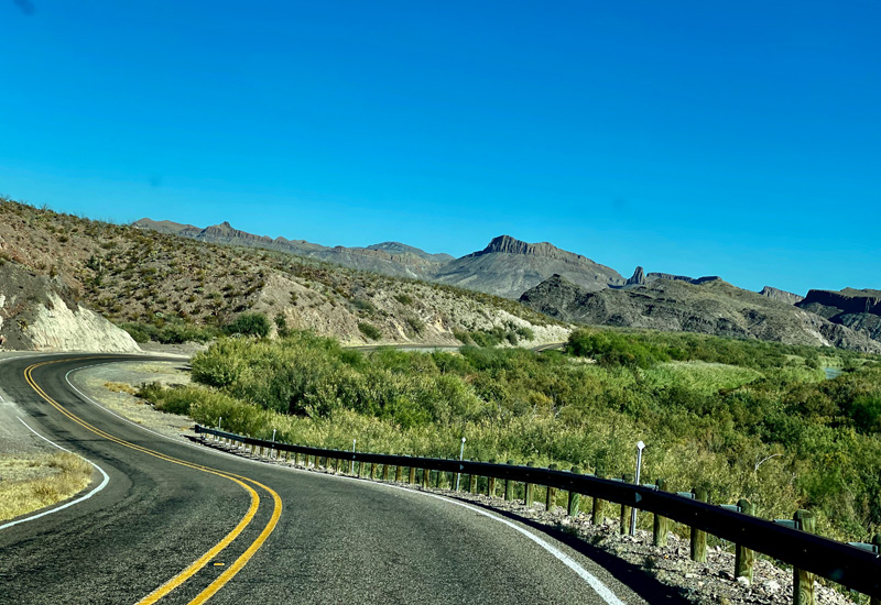
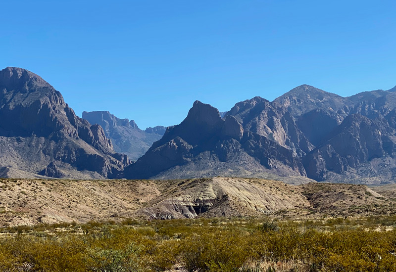
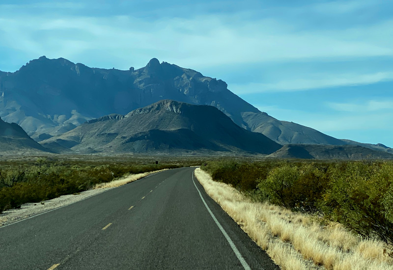
Fabulous drive going east on 90 for a stretch (a fellow camper in Alpine told me that Hwy 90 is one of his favorite highways in the whole of the U.S. because it’s so scenic). From 90 we joined 385 South and headed to Big Bend. Half our drive was going through Big Bend National Park. A terrific drive with very few cars… if any…. and mountain ranges on either side of the road. Very, very scenic! There are three small feeder towns that basically service Big Bend… Study Butte, Terlingua and Lajitas. They all offer small hotels, restaurants and outdoor outfitters (providing jeep tours, bike rentals and canoe/kayak trips). Big Bend Ranch State Park and National Park are the only reason you come to this area. That’s the draw! There are a few gas stations in a 50-mile radius and one small general store to purchase groceries. We made sure we were stocked up on food before we got here.
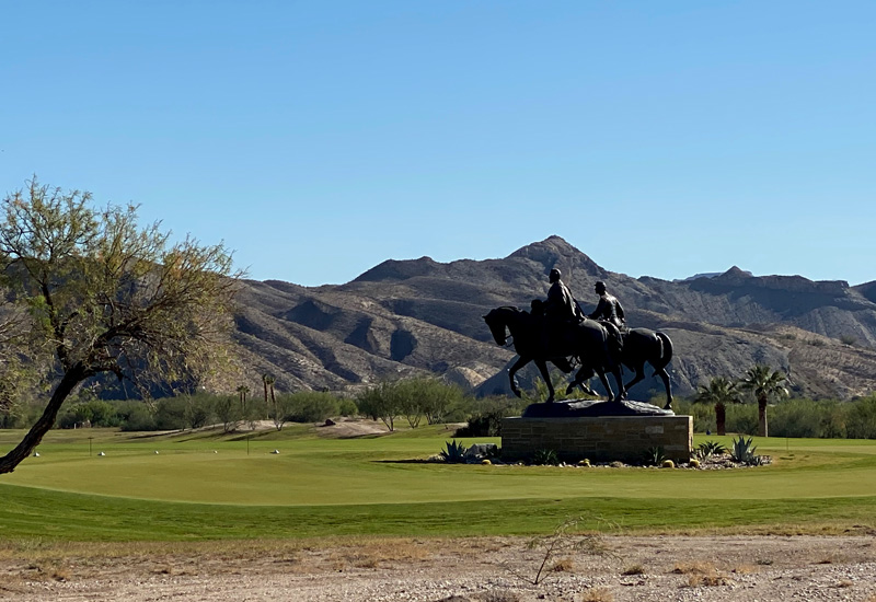
Lajitas offers an upscale golf course and very nice historic hotel on one side of the road with Maverick Ranch RV Park located across the street and owned by the same folks. We pulled into the divided driveway of the RV park and realized they were working on the entry drive on our side and had it closed off. Oh-kay… might have been nice if they had that roped off BEFORE we pulled in. Now we have to try to navigate over to the OTHER side of the divided road. Not an easy task when you’re towing your house behind you! Gary managed it by going up and over the curb. I tried not to freak out about the cactus scratching the side of my tiny home… an inauspicious beginning!
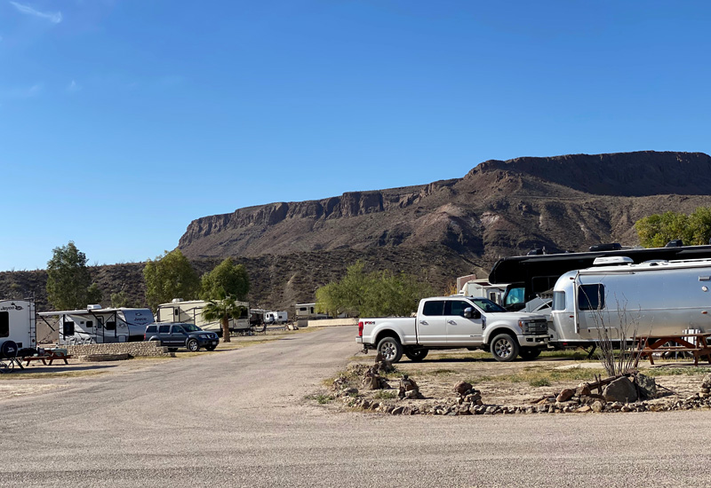
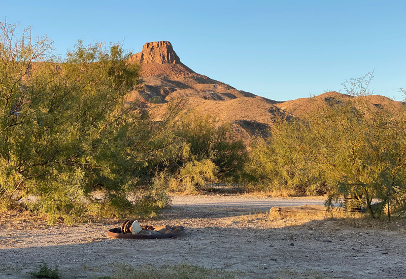
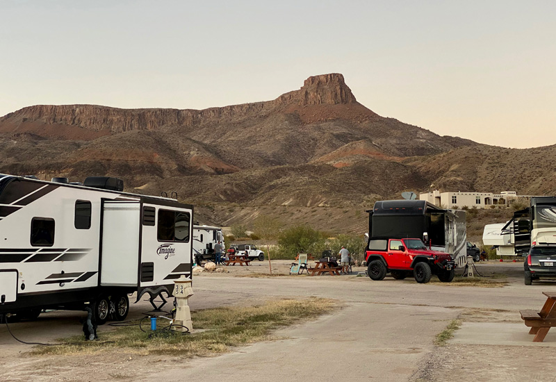
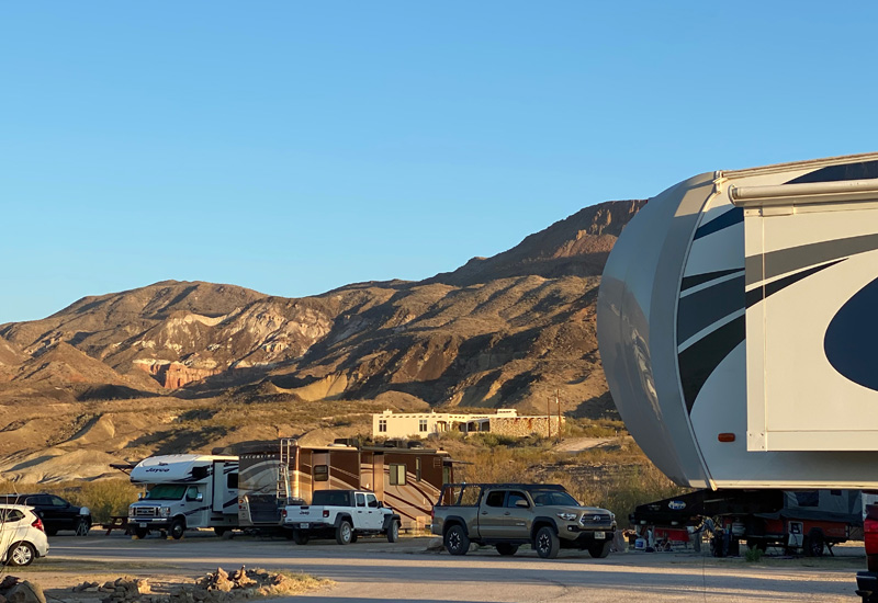
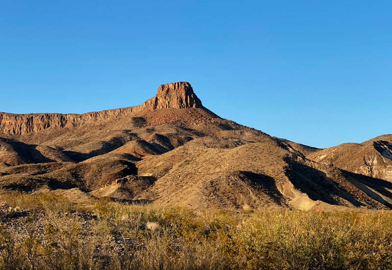
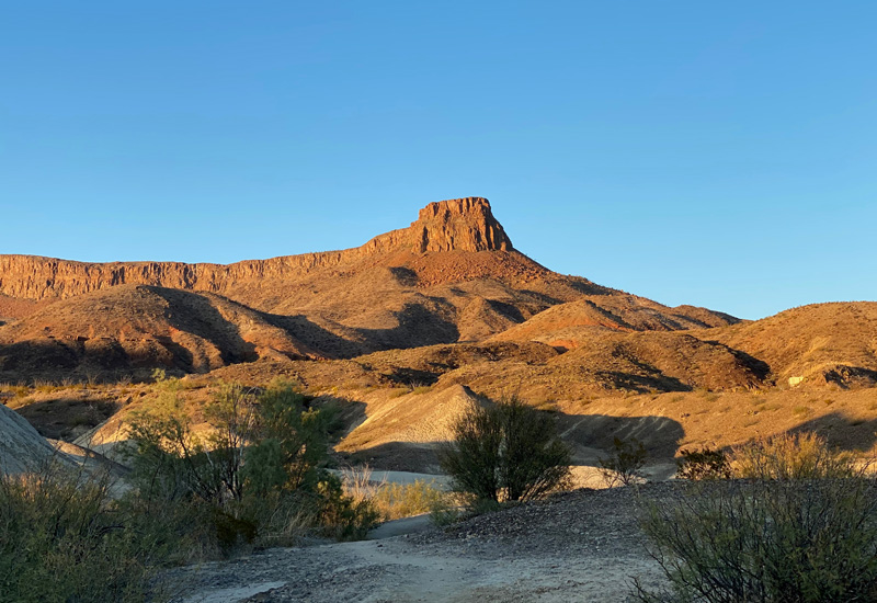
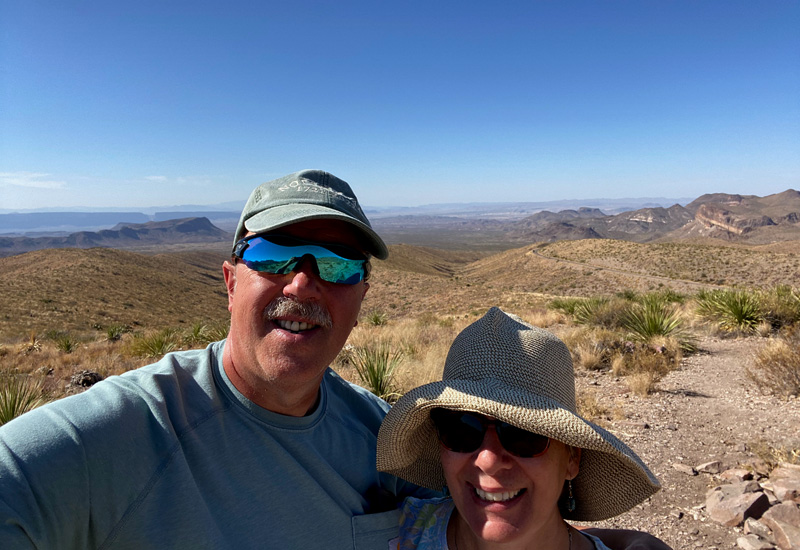
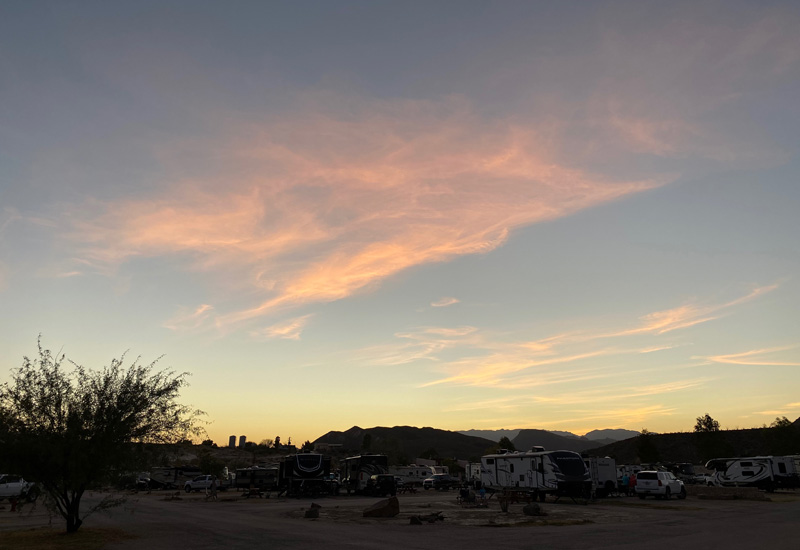
I went in to register us and thankfully that went fine. We had a spacious back-in site with views of the mountains and, since nothing is perfect, we also had a view of the dumpster. Thankfully it was in the distance… sort of. We are in a bowl surrounded by mountains. A very cool spot! Our home for the next 7 nights.
Gary got up on our roof to take a short video of the surrounding awesome views!!! It’s below… as usual, there is music.
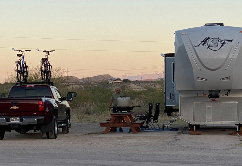
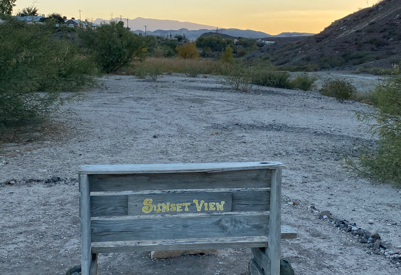
This is also a Dark Sky park… meaning that all outdoor lights are supposed to be off by 9PM so you can stargaze without ambient light interfering with the experience. A chance to try out our new stargazing materials…. planisphere, red flashlight, and the other books that we purchased at the McDonald Observatory in Fort Davis. Since we have a crappy cell signal here, watching TV is out of the question. Stargazing it is for evening entertainment for the next 7 nights! We started the stargazing this evening… it’s a work in progress. We did find the Milky Way, which we could actually see quite easily because the night sky was so dark. Spotting the Milky Way was our great accomplishment for the night.
It was such a pleasant evening that we were stargazing without a campfire … better to see the night sky. Maybe that’s why a skunk decided to visit us… luckily he kept on walking!
Wednesday, November 18th, 2020
Since we are only 10 minutes from Big Bend Ranch State Park, that seemed a perfect place to start our Big Bend exploration! This particular state park is the largest in TX at 300,000 acres. Big Bend National Park is almost 3x as big at over 800,000 acres. We stopped at the Visitor’s Center, and the ranger explained that most of the roads in the state park are not easily traveled because they are rough and unpaved. The main road through the state park is River Road (FM 170) which runs East/West for 48 miles along the Rio Grande. That works fine for us for sightseeing. We’re not looking to be Magellan here.
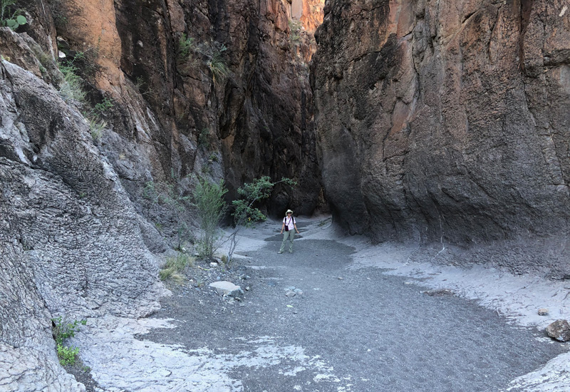
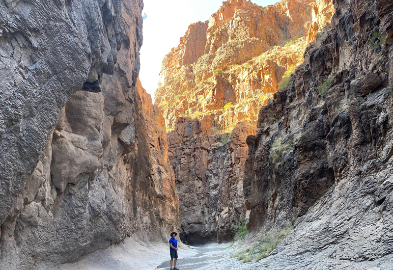
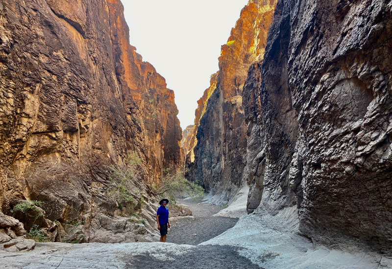
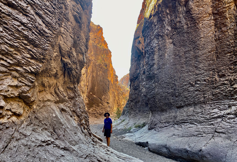
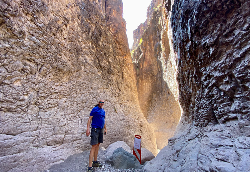
She also explained that the two most popular hikes were Closed Canyon Trail and the Hoodoos Trail. The Closed Canyon Trail was a “slot canyon.” I learned later that a slot canyon is a “long, narrow, and deep channel with sheer rock walls that has depth-to-width ratios typically exceeding 10:1 and can approach 100:1.” Similarly, we didn’t know what Hoodoos meant either. We learned later that Hoodoos is a rock formation that looks like a mushroom. It’s a tall thin section of rock with a bigger cap or top. They are somewhat eerie looking (i.e. like they could fall off) so are called hoodoos or fairy chimneys.
Hmmmm…. slot canyon or fairy chimney. It’s going to have to be one or the other because it’s highly unlikely we’ll have energy for both. I know us. Both hikes were supposed to be “easy,” but we’ll be the judge of that. We had plenty of miles to drive and sightsee before we had to make that decision.
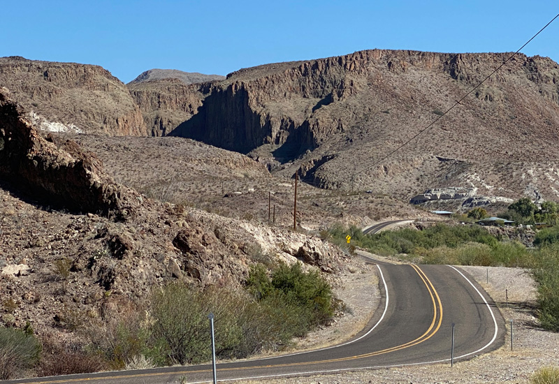
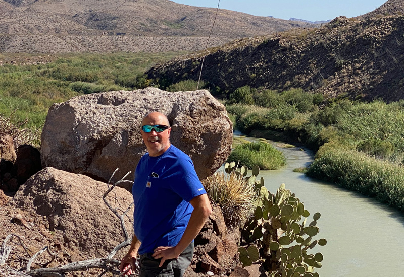
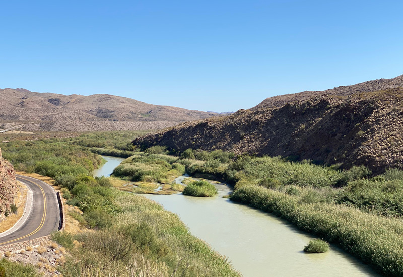
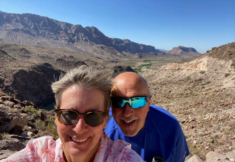
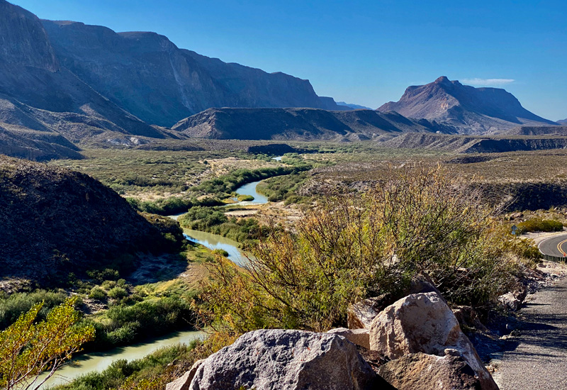
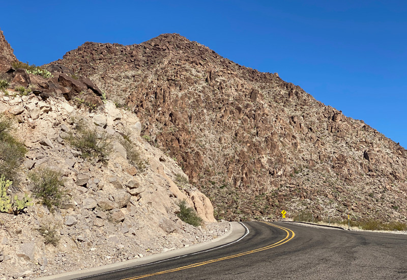
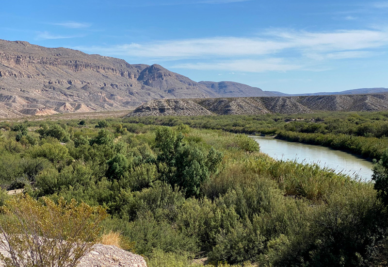
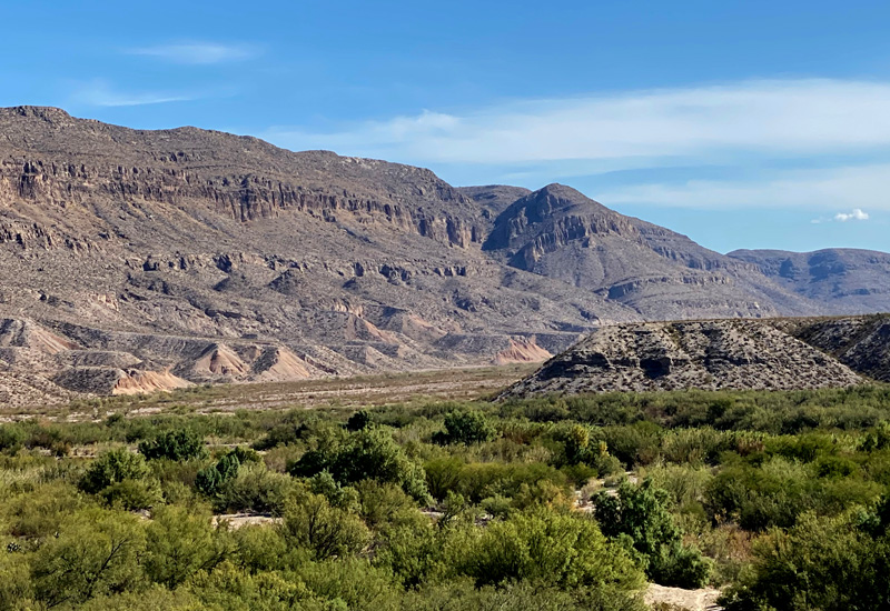
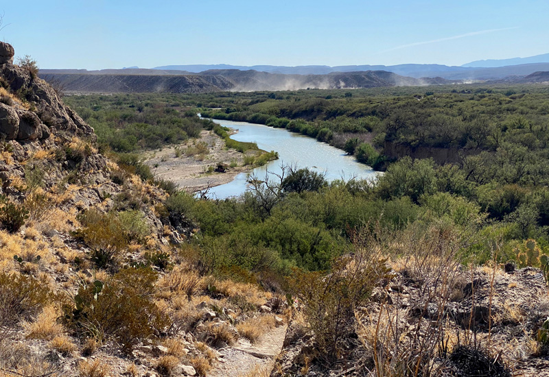
The drive along River Road or FM 170 was magnificent!! Rolling hills with sweeping views of the Rio Grande and Mexico on the other side of the river. The hills were so steep that in places you crested and your tummy fell out driving down the other side…. think roller coaster. We stopped frequently to ooh and aah and take pictures.
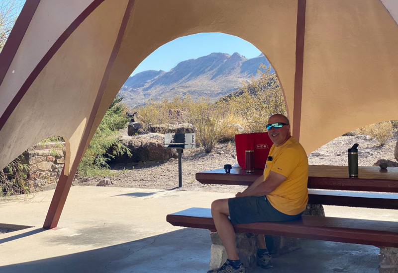
We reached the Closed Canyon Trail first and decided to hike that since a “slot canyon” trail sounded intriguing. I, of course, had to eat lunch first. I don’t skip meals. There was a nearby picnic table where we enjoyed lunch. I, eating my ham & cheese sandwich and grapes, and Gary enjoying his few pieces of ham, cheese and crackers. He eats like a bird. I eat more than he does. It’s embarrassing.
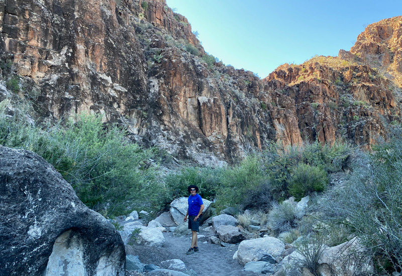
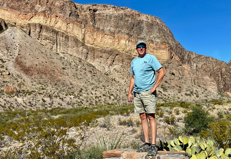
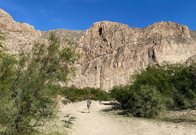
We finished lunch and got ourselves together…. water, sunscreen, phones, etc. and off we went. First is the walk down to the canyon over a sandy base making walking a bit more laborious because you’re sinking in. Then you reach the canyon walls…. with the sun shining off the walls it bathes everything in a golden light. Just beautiful. The trail was about 1.5 miles long round trip and the canyon walls on either side rose up about 150 ft. We were walking in a “slot” in the middle of the canyon walls over uneven ground in places and having to scramble over rocks. A few places I just plopped down and slid down the rocks. ’Twas easier. In a few spots, there were short ladders you could use to climb down. A very cool experience! A stretch of rope across the trail with an accompanying sign signaled the end of our walk. The trail continued (unsanctioned) but you had to climb down a large unfriendly looking pile of rocks to get to it. Even if the rope wasn’t there, I think that would have been the end for us. We learned later that the trail used to be open past that point but a 30+ year old guy had tried the hike, forgetting his water in his car, and had sprained (or broken, not sure which) his ankle at that spot. It was 16 hours before they got him out and he was badly dehydrated and had lasting kidney damage. Poor guy. Lesson learned… always have water with you AND know your limits. We headed back out of the canyon marveling on the way out at the sunlight playing on the canyon walls. We drove a little further up to the Hoodoos trail and then turned around and headed back to our tiny home for the day. As I had thought, Hoodoos will have to wait for another day.
Gary did create a video of our hike on Closed Canyon Trail. It’s below!
Another night of stargazing ensued. Big Bend Ranch State Park and the National Park form the largest area of dark sky protection in the contiguous U.S. These are exceptionally clear skies with very little light pollution (no big towns) so stargazing conditions are extremely good. It helps even more if you know what you’re looking at… our problem (one of many) is that we’re stargazing early in the evening. We’re in bed by 10ish. So if the stars haven’t risen by then, we won’t be seeing them. We THOUGHT we saw part of the Big Dipper tonight, but not sure. Since it hadn’t completely risen, it was hard to tell. And Gary thought he had spotted the Little Dipper but hard to know that for sure since we weren’t positive we’d seen the Big Dipper. You can see our problems…. this is a work in progress.
Thursday, November 19th, 2020
Gary had wanted to go back into the state park today with the drone to shoot some footage. I acquiesced. We’re here for a week so plenty of time to get to the National Park, too. The plan was to drive the remainder of River Road (FM 170) that we hadn’t driven yesterday and then figure out where we want to shoot drone footage. Granted this is a state park and we’re not supposed to be flying the drone. BUT this is a very empty state park, so normal rules don’t apply, and of course, we’re special. I was going to stand watch while Gary got the drone off and “pretend” that I was taking photos with my iPhone, so any passing vehicles would be focused on me and not him. What could go wrong?
We drive down River Road, passing by the beautiful scenery we saw yesterday, and drive the remainder of the 48 miles we hadn’t yet seen. While the second half of the drive was pretty, we preferred the first half, which we drove yesterday. It was more scenic. Upon reaching the end of River Road, we turned around and headed back stopping in different spots to launch the drone. Our plan worked. I pretended to take photos, usually facing the opposite direction from where Gary was launching the drone. And, he only launched the drone for about 5 or 10 minutes at a time. The plan was to piece together all these different clips to give a flavor of the state park. We only had one tiny little issue when a car started to turn into the pull off area to park just as the drone was beginning to descend back to earth. I launched myself into the parking space to block it. They saw what was going on and pulled into another spot and waved. No harm, no foul.
We ended up passing on the Hoodoos hike today. I told Gary we could focus on his drone footage. He was having so much fun with it, and I was, too, when I wasn’t freaking out about us getting caught.
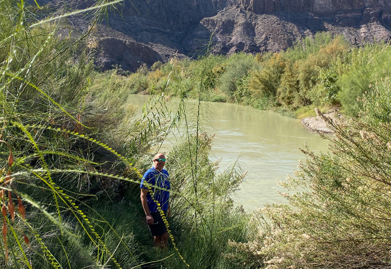
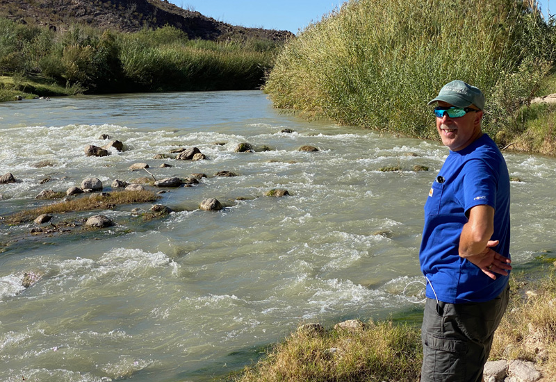
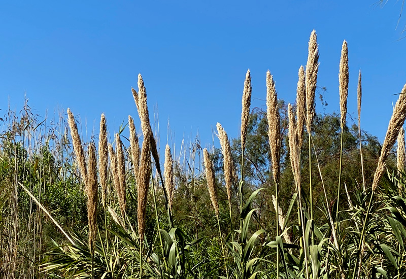
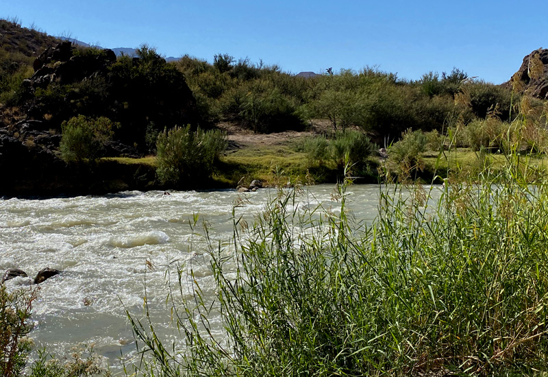
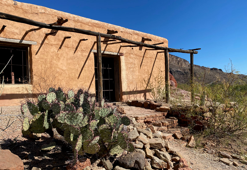
Soooo we’re down to one final stop before we were going to call it a day on the drone. We pull into a day use area. We parked at the turn out area and walked down to the river. There is not a soul around. I don’t have to stand watch down here, as no one can see us from the road. I head off to take some pictures as there was a cool old adobe CCC building nearby. Gary’s plan is to fly low over the Rio Grande so he can get the sweep of the rushing water. There are giant reeds on either side of the river. They are literally called Giant Reeds and can grow 30 ft tall and are quite dense. I head off to take photos and the next thing I hear are pounding feet and Gary yelling “it’s down, it’s down!” I say “what’s down?” Duh. Yep, the drone is down. Great.
The drone is operated by a control panel that attaches to your iPhone so you can visually see what the drone is “seeing” by looking at the screen on the iPhone. Sooo we could see by looking at his iPhone screen where the crash occurred. Gary freely admits it was pilot error. The drone was heading towards the reeds on the Mexican side of the river so he over corrected and the drone shot back to this side of the river and crashed into the reeds on U.S. soil. We walk over to where it supposedly went down and see a wall of reeds. Now what. We also see large piles of poop on the path around the reeds. Hmmmm…. we did see road signs for “Loose Livestock” so this is either poop from loose livestock, or javelinas (otherwise known as feral wild hogs who travel in packs of 10 or more), or black bears, or coyotes, or mountain lions. None of these are good options. Did I mention the snakes? There are 36 different kinds of snakes in the Big Bend area. 6 of which are poisonous. Last I looked Gary and I aren’t snake experts.
We look at each other and the thick wall of Giant Reeds. I say, “I’m not going in there.” He says “I’m not going in there.” Okie dokie then we’re down one drone. It’s not worth losing a leg or an arm or a foot over it. “They,” the park ranger-type folks, tell you constantly not to put your hands or feet where you can’t see them because you don’t know what might be lurking about.
We stand around for awhile and realize nothing can be done here. We head back to the truck and Gary attempts to download what footage he can from the downed drone. Turns out what’s salvageable is the last 4 minutes or so… including the crash. That just seems like adding insult to injury. The one bright spot in all this is that we do have “insurance” on the drone. In theory, we should be able to get a replacement drone for minimal cost. But, since we’re in the middle of Big Bend country where we have a crappy cell signal, we’ll have to wait on making that particular phone call until we’re in a better location. To be continued…
Gary is bummed… mostly over losing all the day’s footage, which was pretty cool stuff. The drone is a relatively new purchase for us and we’re still learning how to operate it. Unfortunately, this was a costly booboo.
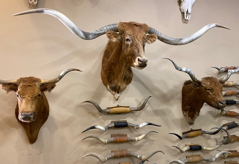
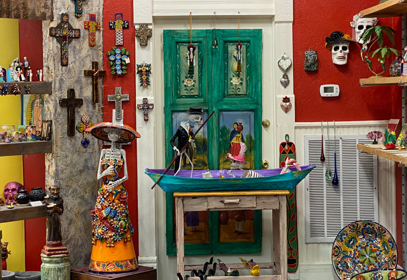
That sort of knocked the wind out of our sails. But on the drive back, Gary said “do you want to stop at the Longhorn Museum?” I had told him earlier that I’d like to do that. It’s located, in of all places, the golf Pro Shop at the Lajitas Golf Resort. We had heard about this from a few folks. We drove over to the resort, which is across the street from our campground. Beautiful grounds. We walk into the Pro Shop aka the Longhorn Museum and see lots of long horns on dead animal heads mounted on the wall. We came; we saw; we can go now. I’m not against hunting if the meat is being used etc. I just don’t necessarily need to witness the after effects of it. Afterwards I also took a walk on the resort’s “boardwalk” which is lined with a few shops and the historic hotel. I probably should have walked into the hotel just to see the lobby, but I didn’t. Gary waited in the truck while I walked the boardwalk. I did wander into a shop or two and marveled at the resort’s green grass and beautiful plants in the middle of this sandy, dusty desert area.
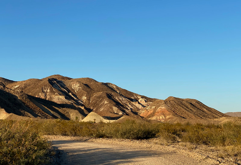
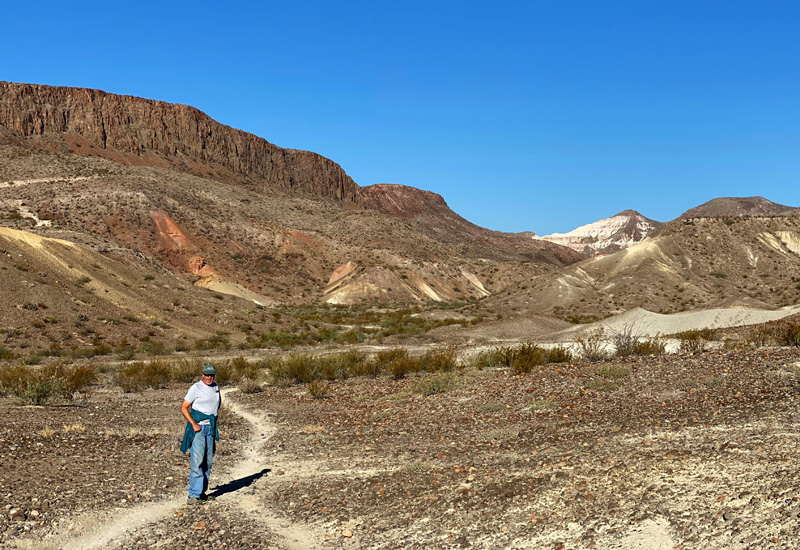
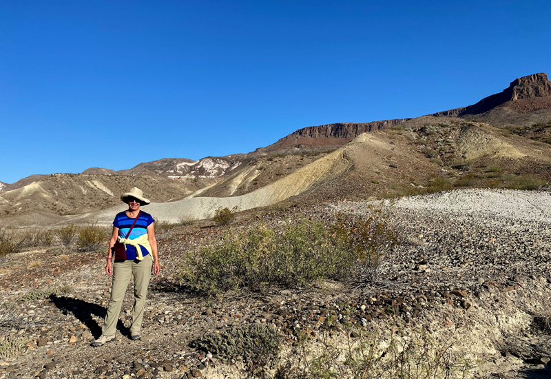
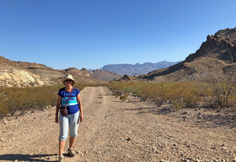
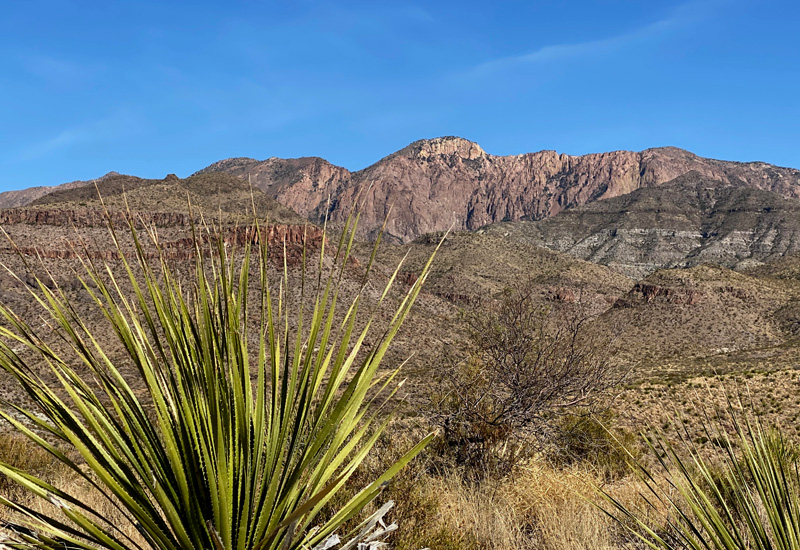
We got back to our campground and chilled, and I went for a walk before sunset on some of the trails outside of the RV park. Just beautiful…. mountainous with gorgeous late afternoon light on the rocks. I didn’t go too far because I didn’t want to be stuck out there after dark.
We both were doing better about the drone debacle after an adult beverage or two. As usual, after dinner we did some stargazing. I did spot Orion’s Belt… somewhat easy with 3 stars in a row. Gary wasn’t sure I was correct, but I’m holding fast that’s what I saw.
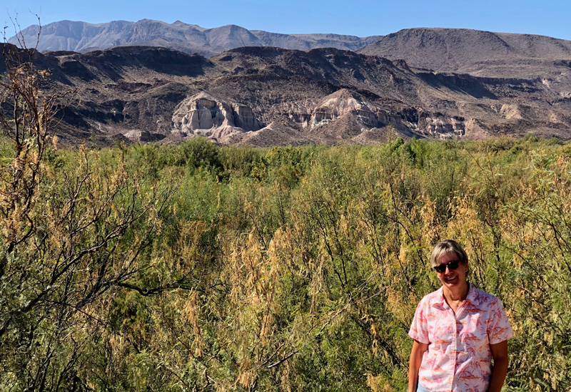
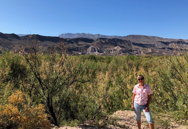
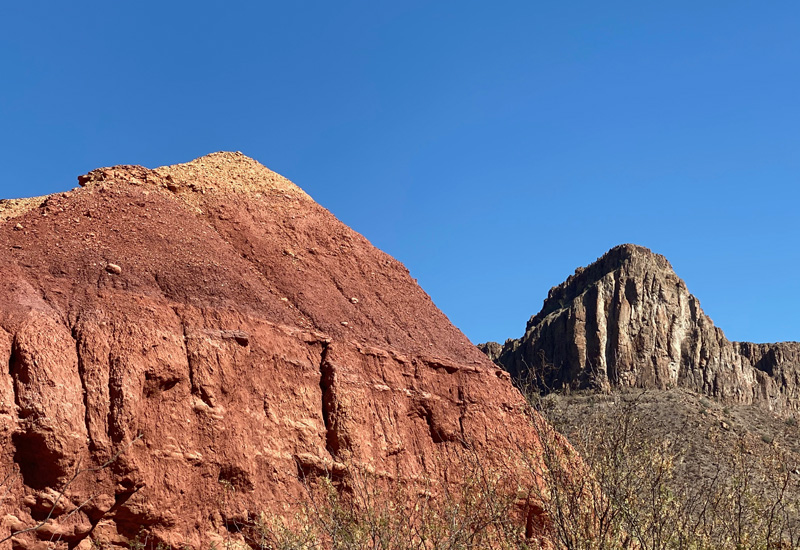
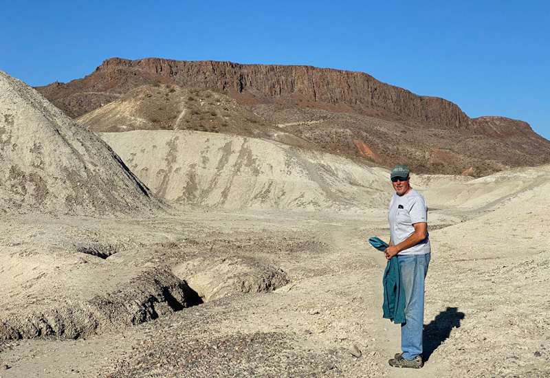
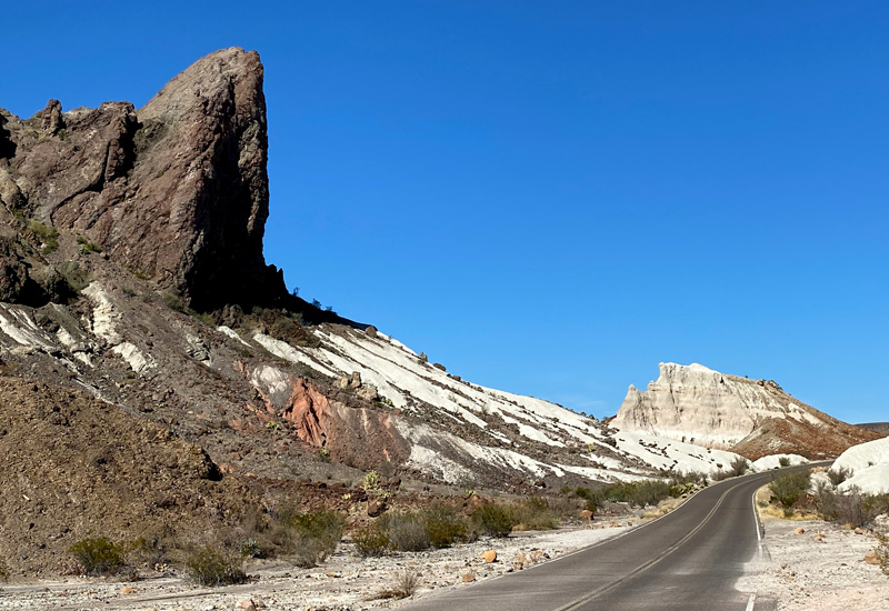
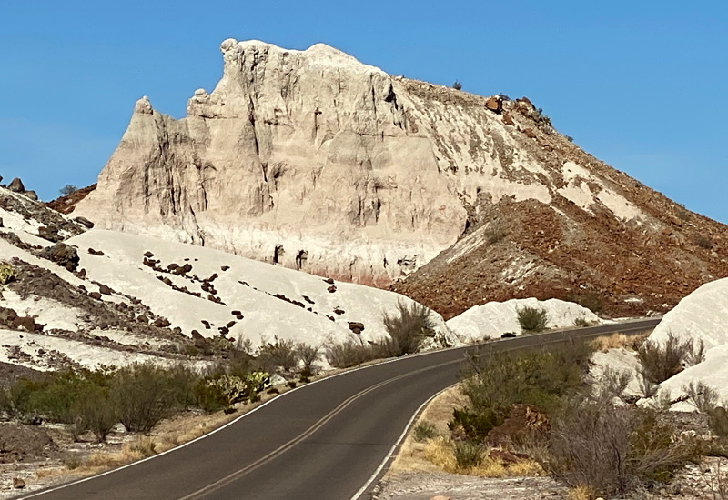
Friday, November 20th, 2020
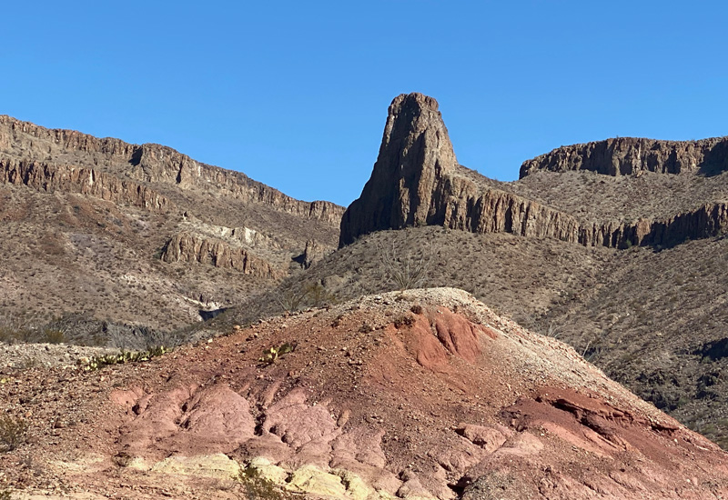
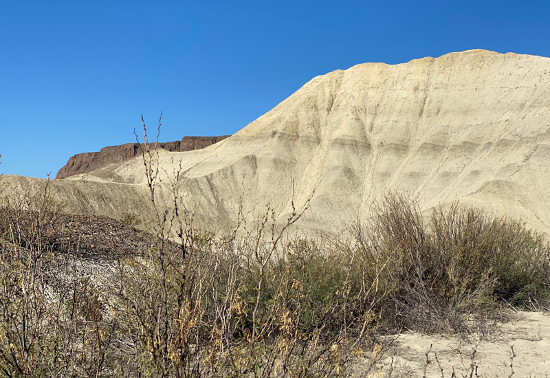
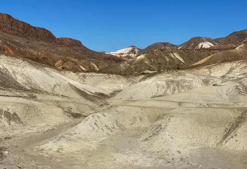
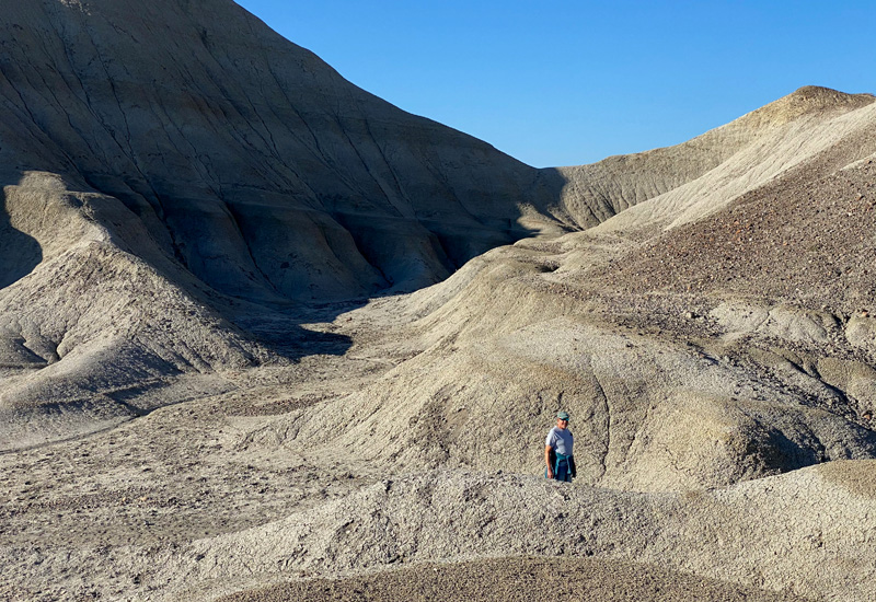
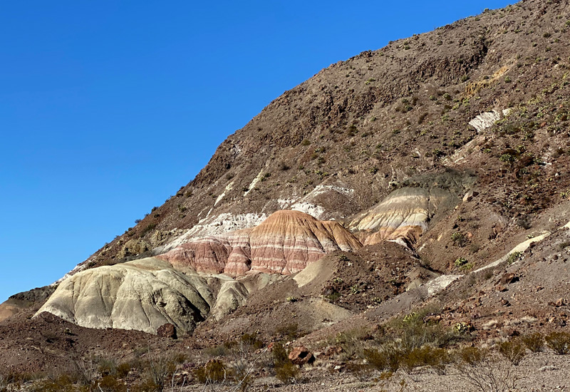
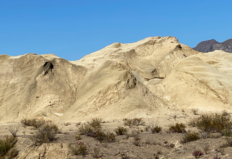
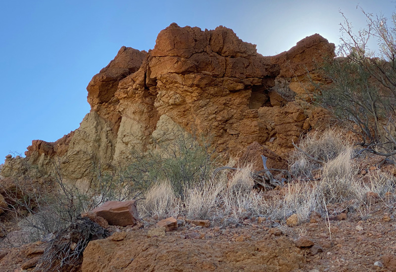
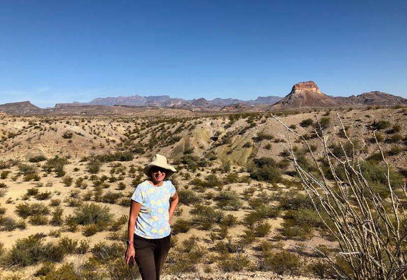
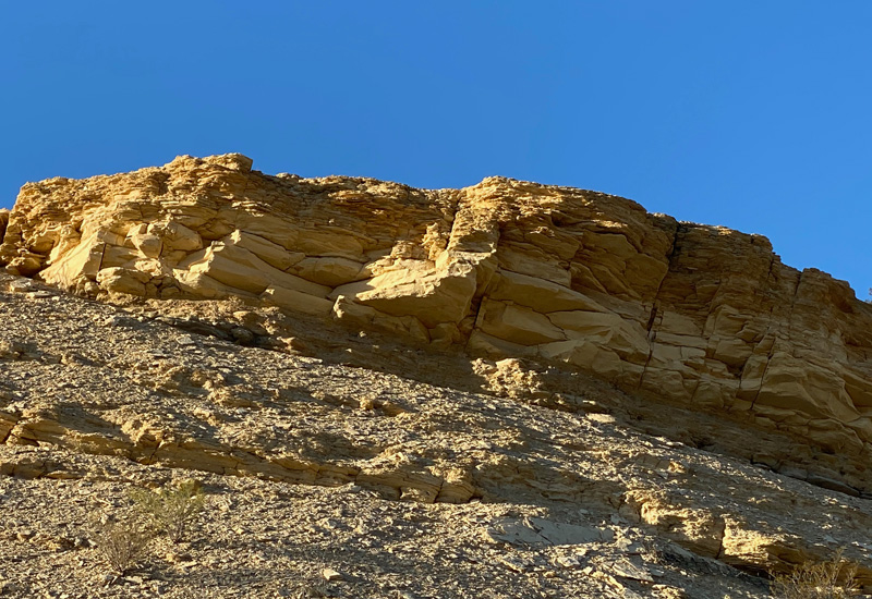
This afternoon we had a jeep tour scheduled! Andy & Linda had done one when they had visited Big Bend and had recommended it so we decided to copy their lead. We had the morning to kill so I grabbed Gary, and we headed out before breakfast to check out the trails behind the RV park before it got too hot. The trails are for walking and for mountain bikes.The white “hills” in the area are really remnants of volcanic ash created centuries ago. They tower above you and mixed with the colorful limestone and sandstone rock formations make for a very dramatic landscape. It’s other worldly. I felt like we left this world and were visiting some far off galaxy.
But otherworldly or not, we also hadn’t had breakfast yet (except for me having a snack) so it was time to head back to our tiny home so Gary could make pancakes. No rest for the weary.
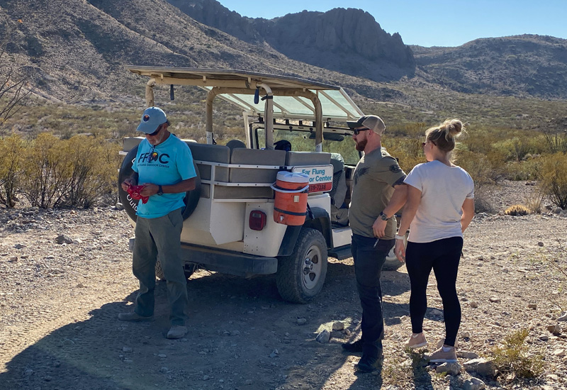
We arrived at Far Flung Outdoor Center for our jeep tour at 1:00. It was an open air jeep – open sides and a covered top offering protection from the sun. Our tour guide was Randy who had lived in the area for 9 years. He was not from Big Bend, but visited once, fell in love with the area, and figured out a way to move here and make it work for him. I would guess his age to be mid-50’s, single, lives in an RV (kindred spirit) and works for Far Flung as their head guide and trains the other guides. When he’s not working, he’s hiking. He offered up pearls of wisdom in referring to life living in this region…. “It’s a simple life, but not an easy life.” “Everything is far away.” People give directions to each other by saying “to get to my house, turn left when you see the red rake stuck upside down in the ground.” And my personal favorite “People don’t have junk around their homes, they have their own hardware store. Nothing is wasted.”
He doesn’t have much in the way of material possessions, but he has everything he wants or needs. Not a bad way to live your life. His grown kids are in the San Antonio area. He visits them and then can’t wait to return to the quiet desert life. There was one other couple with us on the tour. They were from Midland TX. They were on a weekend getaway. The husband was in law enforcement, as evidenced by the gun he had under his shirt. They were very young and very sweet.
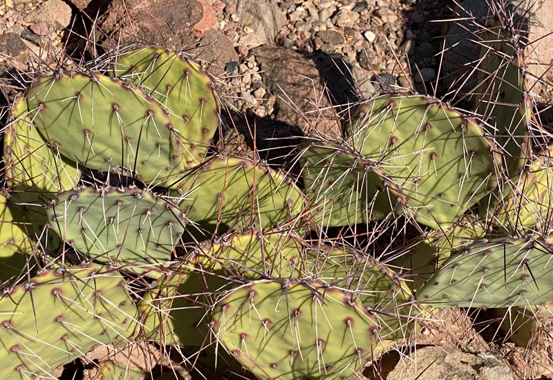
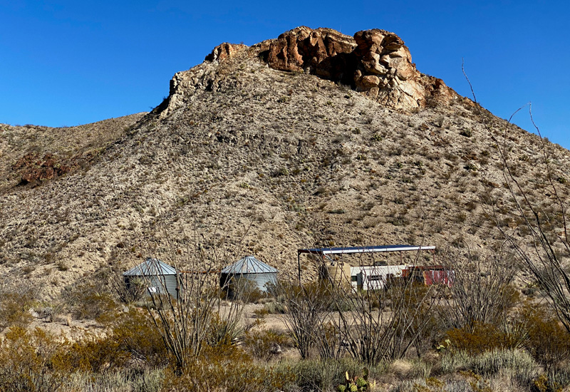
The jeep tour lasted about 3 1/2 hours. While we didn’t go into the national park, we were on private lands surrounding the park, which allowed us to see some rather unique alternative housing arrangements… water tanks, small homes or trailers (with a metal covering offering sun protection) and LOTS of privacy. I don’t know how they do it. I suspect rural Alaska might have a similar set-up, except you’re not in a desert there. Randy educated us on the plants and rock formations we were seeing (which, of course, I promptly forgot). He did say many of the plants have medicinal qualities, and there are 50 different types of cactus in the area.
Talk about dusty. Oh. My. God. Between the open air jeep and rough dirt roads, we were covered! My hair felt like straw. It was a fun afternoon though.
Another night of stargazing rounded out our day.
Saturday, November 21, 2020
Today…. we’re finally getting to Big Bend National Park! We packed lunch and drive for an hour to the entry gate. We have a short wait to pass through.
We had downloaded a free APP that had been advertised in the local publications called Just Ahead. Once you download the app, then you can download various national parks that you’re visiting. There was no charge for downloading Big Bend. I’m not sure if we visited a second park, if you’d be charged. If so, we’d gladly pay. It was an awesome app! As soon as we got into the park, I launched it. It knows where you are and tells you what’s “just ahead” so you can make a decision if you want to stop or not. It also tells you general info about the park, side roads you may wish to consider, and sites within the park that are “must sees.” We loved it!
We had some ideas of what we wanted to do the first day, but we definitely would have missed out on some things if we didn’t have this app.
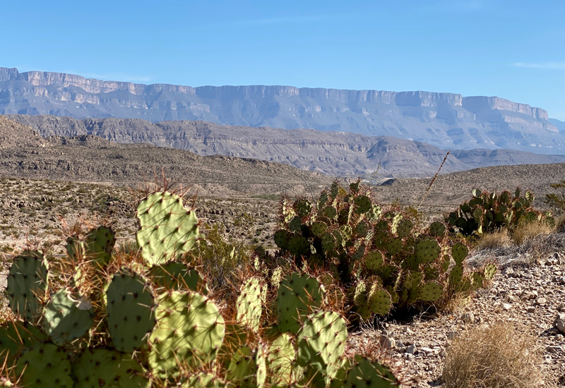
Big Bend is named for the great curve or U-Turn of the Rio Grande – defining the park boundary for 118 miles. Many of the park’s signature vistas include U.S. and Mexico. It’s hard to fathom just how close to Mexico we are… just across the river. The park covers over 800,000 acres, and has three ecosystems: (1) The Rio Grande with its lush ribbon of green that cuts through the desert and carves deep canyons. (2) The Chihuahuan Desert, one of North America’s four major deserts; and (3) The Chisos Mountains, which is the only mountain range totally contained within a single national park. Temperatures can be vastly different from the desert floor to the mountains… a 20 degree difference is not unusual in the summer months. We liked our temps being there in November! Still warm, but manageable.
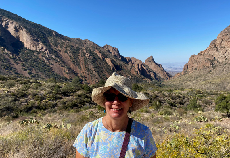
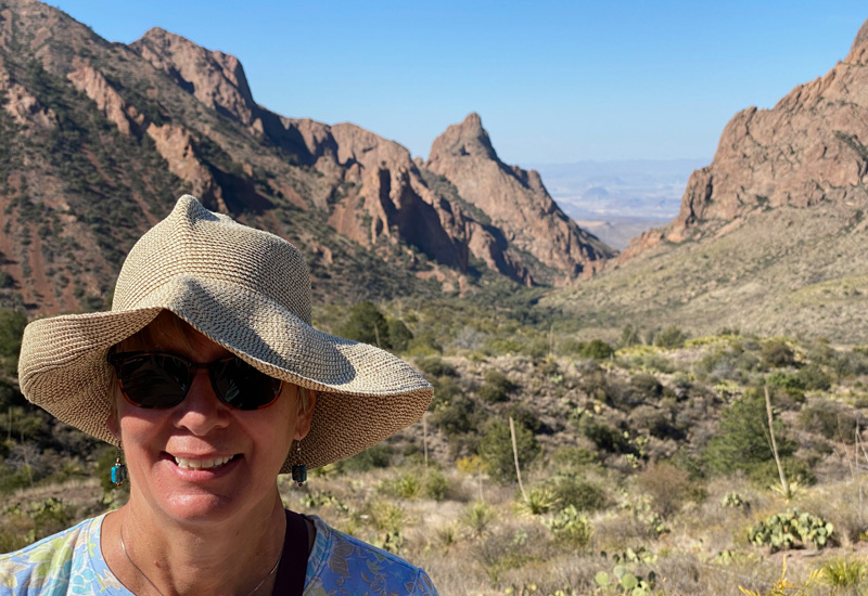
Our first stop of the day was Chisos Basin in the heart of the mountains. It was a scenic winding/curvy ride to get there. Lots of greenery including fir, cypress, and pine trees. A welcome change from all the desert landscape. The Chisos Basin is also where a lot of the hiking trails launch from. One of the most popular trails is the Window Trail, but at 5 miles long we’re not sure we want to spend the time to do just that when there’s so much else to see in the National Park. I might have been tempted. Hubby not so much. We opted for the Window View Trail, a whopping 3/10 of a mile and gives you a great view of “The Window” without having to climb down to it! Picture below.
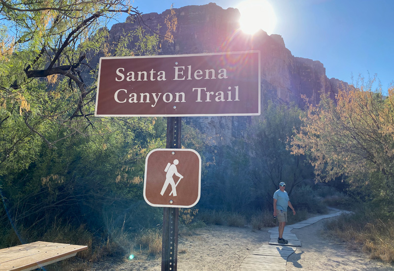
After our visit at the Chisos Basin we back-tracked to the Ross Maxwell Scenic Drive headed to the Santa Elena Canyon. Most park roads end up at The Rio Grande. This one is no different. A beautiful 30 mile scenic drive. We made numerous stops, aided by the “Just Ahead” app and landed at the Santa Elena Canyon Overlook, where you can see Mexico on the other side of the river.
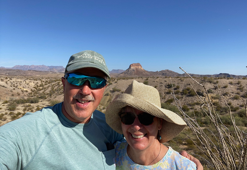
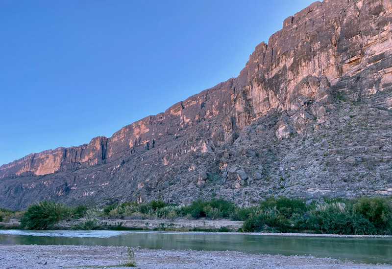
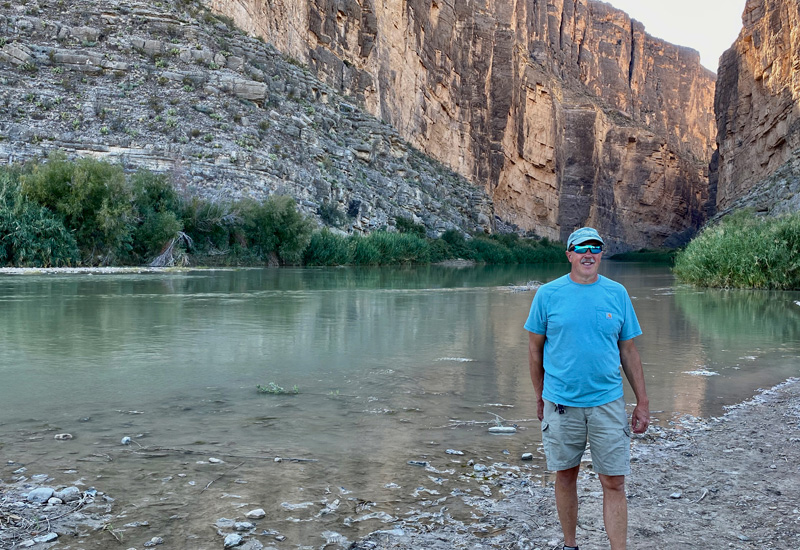
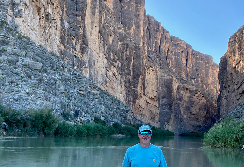
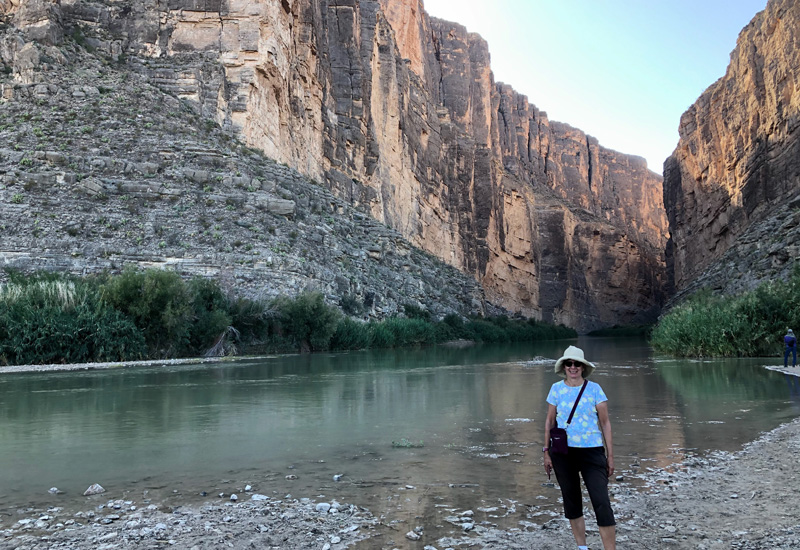
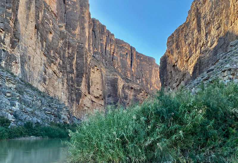
From the overlook we continued on down to Santa Elena Canyon, the hope was that we could hike the easy 1.7 mile round trip to one of the narrowest points in the gorge. Santa Elena is 8 miles long and 1500 ft. deep. Half of it is located in the U.S. and other half in Mexico. Alas we walked down to where the river was and had good views of the canyon but were thwarted in that we couldn’t cross the river bed to hike up the other side for better views. Typically this section of the river is a dry riverbed, but not today. The water was about 2 ft. deep. People were taking shoes off and crossing anyway, but we weren’t exactly prepared for that. Somewheres further up the river, we could have crossed another dry spot and snaked our way across the hills. But it wasn’t a “sanctioned” trail so we thought better of it. I swallowed my disappointment, but at least we had nice views from where we were standing.
By then, it was getting late in the afternoon and time to call it a day. We headed back to our tiny home. After dinner, another round of stargazing ensued with another visit by our resident skunk. While we didn’t have any great epiphanies over identifying any additional star systems, we also didn’t have any uncomfortable run-ins with our friendly skunk. He/she kept walking and we let them!
Sunday, November 22, 2020
Today is my Mom’s 101st birthday! Can you imagine?! Yesterday my cousin Andrea, who is now living in Exeter, was able to visit. So grateful that Mom was able to have a family visit for her birthday. I am also extremely grateful that we have an angel in the form of our friend Nancy who is able to bring a few favorite groceries to Mom every few weeks.
Mom and I spoke in the morning and she thanked me and everyone else for all the cards she had received and the gifts. Unfortunately you don’t get to this advanced age without some aches and pains and difficulties, but her spirits are good and she’s as sharp as a tack! She loves getting letters and hearing about what everyone is doing. She also loves reading good books and watching tennis and golf on television… and the Red Sox (when they have a decent team!). Our whole family is very grateful for her amazing spirit. It made my day hearing her voice!!!
Afterwards we headed off for a second day of visiting Big Bend National Park. Yesterday, like today, there was a sign prior to the entrance saying “Busy week. Expect crowds.” Yesterday we got through the entrance in 10 minutes. This morning we were in line for an hour! In hindsight we should have done the national park during the week and the state park, which gets less visitors, on the weekend. Live and learn. It’s Thanksgiving week and the kids are off school all week so parents and kids are on vacay and traveling. This is what happens when you’re retired and not thinking in terms of other people’s schedules. That’ll teach us! This is like the time we hit Olympic National Park in Washington on Memorial Day weekend a few years back and were in line for over an hour to get in. Apparently we don’t remember lessons learned very well.
We finally got through the entrance… and the first stop this morning was the Visitor’s Center at Panther Junction. There are five Visitor’s Centers in Big Bend. This one is the largest but because of Covid, all the Visitor’s Centers are closed but tables are setup outside each with information and park personnel available to answer questions. Panther Junction also had a short nature walk that explained local plants. Many of which we had learned on our jeep tour from a few days ago so this was a refresher.
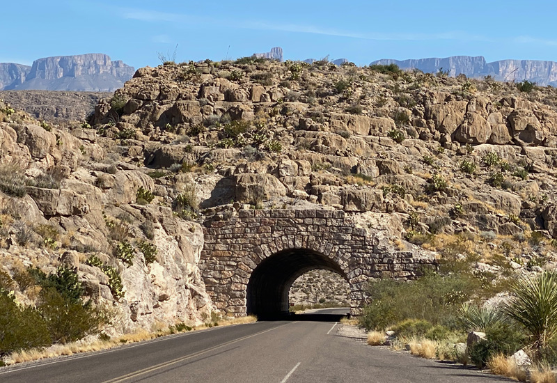
From there we headed past ancient limestone formations, a tunnel and great views of the Sierra del Carmens to arrive at Rio Grande Village which is on the desert floor. Because of Covid, the nearby road to the Hot Springs was closed. It’s a natural Hot Springs with temps at a constant 105 degrees. That would have been interesting to see, but I can understand why they closed it for now.
From here we headed to Boquillas Canyon. Big Bend has numerous roads leading to the Rio Grande with Mexico being on the other side. Before Covid it was even possible to cross into Mexico for the day from the national park at Boquillas Border Crossing. You go across the river in a (Mexican run) rowboat for $5 round trip and can either walk 3/4 of a mile into Boquillas or get a ride from a local resident via horse, burro or pick-up truck for a small fee. (I’m not making this up!) Once in town, there’s shopping and restaurants. You must bring your passport to cross back onto U.S. soil at the national park. I’m not sure if we would have done this or not… but the decision was negated as it wasn’t possible because of Covid anyway. As with the road to the Hot Springs, the road leading down to the border crossing was roped off.
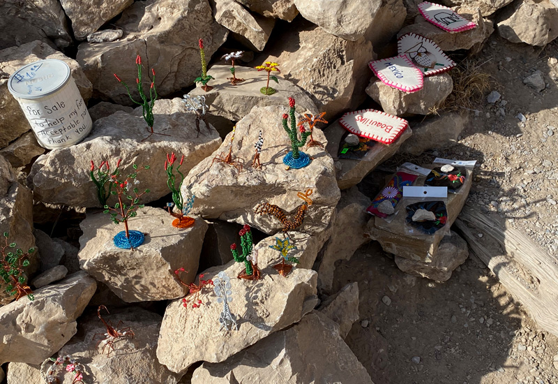
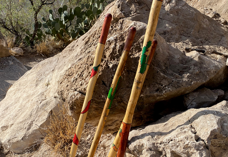
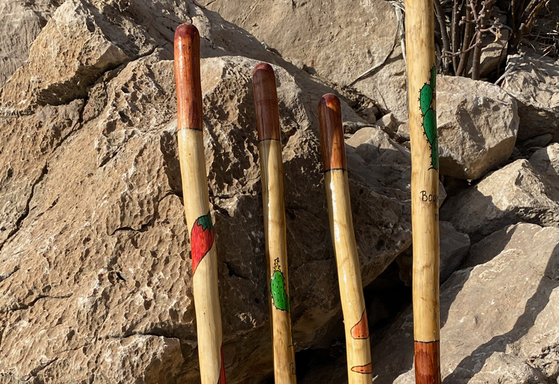
We did continue on to the Boquillas Canyon overlook and saw beautiful views. At the overlook some enterprising Mexicans had set up wares to sell including walking sticks, figurines, jewelry and other items. It was on the honor system. A plastic jar was beside the items. No “sales” person in sight. Rather charming!
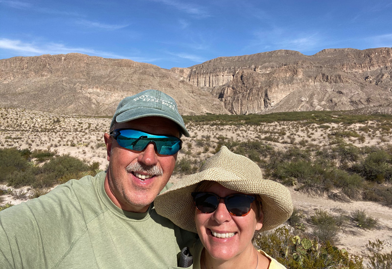
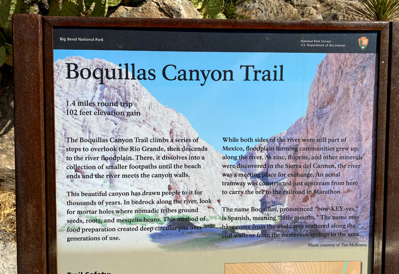
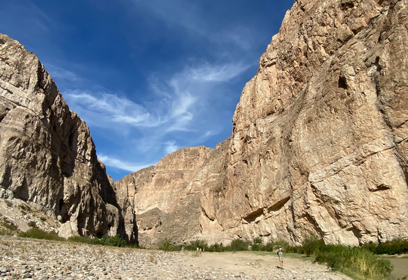
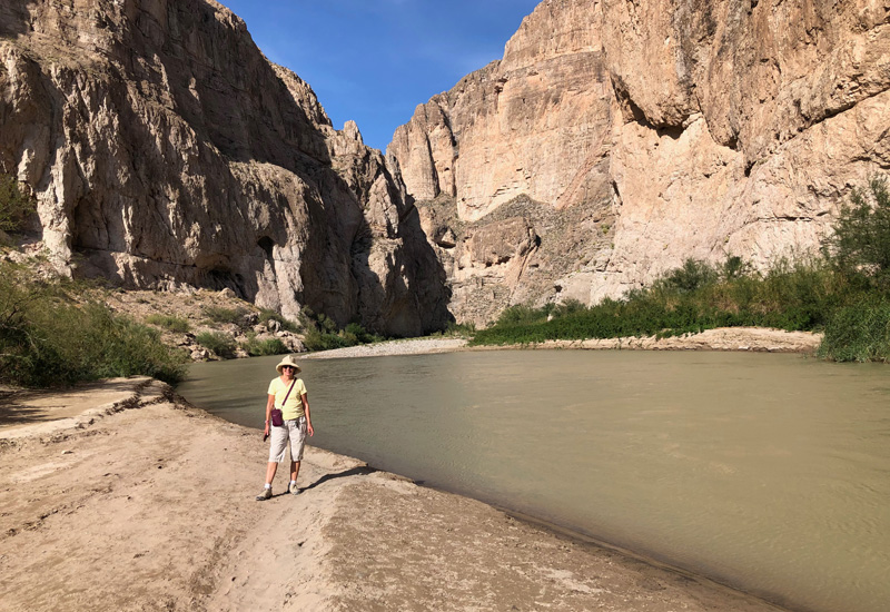
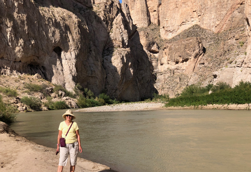
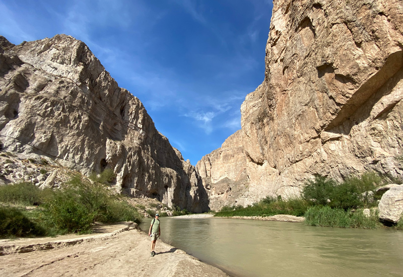
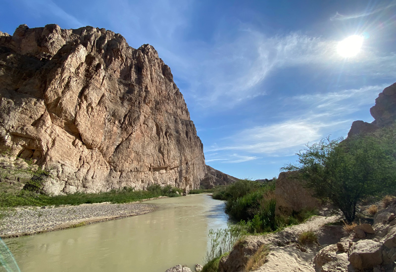
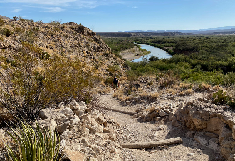
Boquillas Canyon is the longest and deepest canyon in Big Bend at 7,000 ft. There was a 1.5 mile trail we were able to take that first climbs a series of steps to overlook the Rio Grande, where we could see Mexican families on the other side. Then the trail snakes back down to the beach and ends where the river meets the canyon walls. Beautiful! Along the way we saw Mexican wares set up for sale. There was a young Mexican family also selling tacos-to-go, and a few Mexican men on horseback keeping an eye on the sales. One Mexican cowboy was giving a child a ride to the beach, while Dad was taking pictures. They obviously had crossed over the Rio Grande on horseback and the family had crossed using their row boat. The river is very narrow at this particular section. I can only guess that the park personnel allow this to take place because the tourists are missing out on going over to Mexico and buying local handcrafts. Likewise, the Boquillas residents are missing out on the tourism dollars. I think this is a win-win all around.
Just a beautiful trail and a great way to end our day at Big Bend National Park.
That evening we did a walk around the campground and did some more stargazing, which started a conversation about why we were seeing so few satellites (like none) and why that was the case. Was it the time of day? Or simply that there aren’t that many in this location? We’re not sure. In the past when we’e been stargazing, we’ve always seen a fair number of satellites as well. Interesting… these are the things we have time to contemplate when we’re not watching tv. 😊
Monday, November 23, 2020
We leave this area tomorrow, so we decided to have a bit of a chill day. Gary made one pilgrimage out to fill up on fuel… and paid a whopping $3.50 a gallon for diesel. Whew. Before arriving in Big Bend, our prior fill-ups had mostly been under $2.00 a gallon. But this is what happens when there’s virtually no other fuel station around for 50 miles. Beggars can’t be choosy.
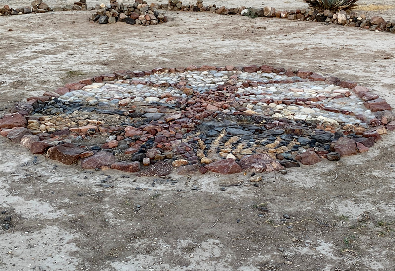
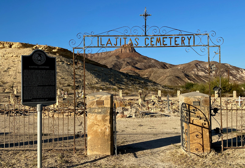
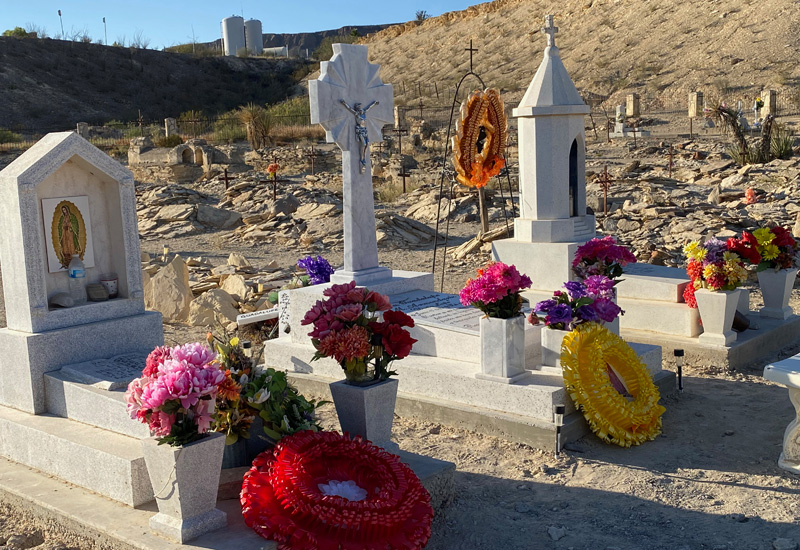
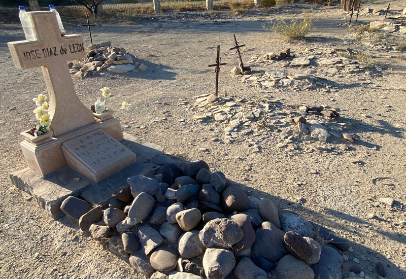
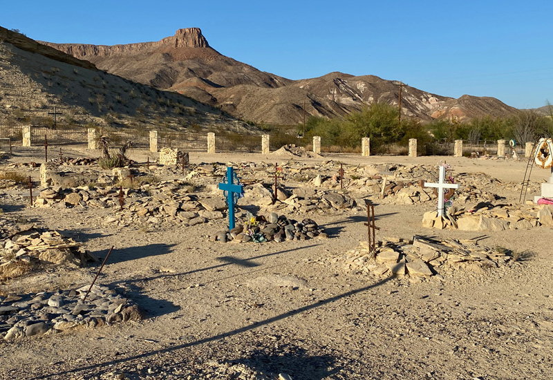
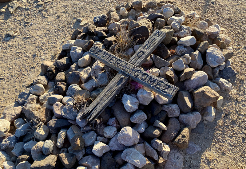
There was an old cemetery at the entrance to our campground that I had been wanting to visit so today was the day. It was rather fittingly called Lajitas Cemetery (named after the town it’s in) and has been in existence for over 100 years. Lajitas means “flagstone.” Both hispanic and anglo residents are buried here. There are 138 identified graves dating back to the early to mid 20th century. Some early graves have simple mounds of stone or elevated monuments with openings or niches for memorials. The cemetery has also been used sporadically in more recent times. Quite beautiful to feel the history of the space. I walked over there later in the day and the warm gold colors of the sun on the stones were beautiful.
This was our last night of stargazing here and taking advantage of these amazing dark skies. It was a beautiful night and we were both a bit overwhelmed by the majesty of it all. All those many, many stars so very far away and little us sitting here in this marvelous RV park with a desert landscape in Lajitas, TX. It was a spectacular week in this very special place. We felt privileged to have spent time in both Big Bend National Park and the state park, and will hopefully pass this way again. Note to self: if we are fortunate enough to visit here again, take advantage of a rafting/kayaking trip to experience the Rio Grande.
Gary put together a video of our time at Big Bend National Park and the state park with a little drone footage included, prior to its drowning in the Rio Grande. The video is about 7 minutes. Enjoy.
Tomorrow we head further South to the border town of Del Rio, TX.






































Wow. Fantastic. We would never had known to add this area to our bucket list if it was not for y’all. Love you guys
Thank you, Stacie!!! I think the landscape is one you both would enjoy for sure! The only negative…. the parks aren’t very pet friendly. Dogs aren’t allowed on most trails. They say it’s for their safety because of the snakes etc. You can drive around with pets in the vehicle but they are banned from most trails. I just wanted you to be aware. Love you guys so much! Happy New Year’s Eve!!! ♥️ xoxo
So very interesting, it’s a shame about the drone. It really does look like another world.
What does the FM stand for in the routes?
I only needed one cup of coffee, love your writings
Thank you, Nancy!! You’re very sweet. Glad you could get through it with one cup of coffee 🙂 Yes, unfortunate about the drone… sigh.
The FM stands for “Farm-to-Market.” They are state or county roads that connect rural or agricultural areas to market towns. They are better quality roads that farmers and ranchers use to transport products for distribution.
Hope you and Tony have a wonderful New Year’s Eve.
xoxo Teresa
So much to see, thanks for sharing. I would have bought one or two of those colorful walking sticks and went back to River Road and used them to poke into those reeds for the drone. Once you are healed from the loss of the drove I’d enjoy seeing the “crash” video. ; )
My question is, what will you tell the insurance company happened?
Happy New Year to you and Cheryl!!! Actually that would have been a good idea about the walking sticks. We didn’t think of that! But a few days had gone by, and we THINK the drone landed in the Rio Grande. I emailed you the small piece of the “crash” video! Hopefully it comes through.You’ll hear about the conversation with the drone company in the next blog post as we attempted to claim on the insurance!!! lol.
Hi Teresa and Gary. I had to chuckle when I saw you mention Closed Canyon. TPWD bought the ranch in 1988. I hiked that canyon in 1990 before it was open to the public with a photographer friend that was going to put it in an upcoming book on Texas hiking trails. Took me done memory lane.
My sources at Area 51 tell me Drone 1 was taking down by aliens. No, the ones that come from space! lol
Happy New Year!!!!!!
That’s so funny about you hiking the canyon 30 years ago, Dale. Wow!!! It’s so pretty in there. We’d never seen a slot canyon before. So cool!!! And, I assume you were with Lawrence when you did that… Happy New Year Backatcha cuz and kiss cuz Delilah for us!
Happy New Year! No one appreciates this blog like we do. We are a couple days away from Big Bend and would be closer but we’ve been having some ‘weather’. Woke up this morning to 6″ of snow so won’t be leaving OKC till at least tomorrow. We have been a couple days delayed everywhere along the way, due to weather or Covid or a month for Peter’s broken ribs. But that’s ok since we have no schedule and no demands on us. We visited the OKC Memorial and Museum one day and the next the Cowboy and Western Museum. All excellent! We have not escaped the cold soon enough!
We appreciate very much all the information you’ve shared and will be following in your footsteps. Sorry about the drone but your pictures are excellent.
Our Buggy is now truly home but we continue to organize and re-organize constantly everyday. I spend a lot of time trying to find things that I’ve put in a safe and ‘obvious’ place. Things will get easier.
Keep writing, we love to read all of it!
Hi Janice, We’ve been thinking about you two and wondering where you were!! We had heard Big Bend was going to be getting some snow so we were hoping you weren’t there. Although we didn’t know you were in OKC and facing snow. Ugh! Glad you got to see the OKC Memorial Museum. We saw the outside grounds but missed the museum itself. We’d had the pleasure of visiting the Cowboy Museum years ago with my parents, and I remembered it as being very good. Glad you also had time to see that!
Glad you’re Buggy is feeling like home! It’s a process! We’re still tweaking… well, actually it’s more hubby than me. He’s the tweaker!
You will love Big Bend! Enjoy!! I’m sure you’ll discover things that we didn’t see. Hopefully Peter is feeling much better now.
Teresa & Gary that was a great blog. The pictures were fantastic, and it brought back a lot of memories . Nick really had a great time reading it. He did a lot of laughing and he said this is the best blog I have read. Love you
Hi Aunt Elizabeth & Uncle Nick! Glad you enjoyed the blog and the pictures! And, I’m glad Uncle Nick got a kick out of it, and that it brought back happy memories for you! Thank you for the kind words! Look forward to seeing you both soon! Love you, Teresa & Gary